| Baja Photo Uploads / Trip Reports Pics from your road trips, fishing and camping adventures. Baja Dogs are welcome... |
 09-08-12, 11:41 AM
| #1 |
 
Join Date: 04-02-09
Location: San Diego County
Posts: 856
 |
The following report contains over 600 photos and maps, as well as the text... I suggest getting a cold Pacifico or other beverage and let me take you along for the next few minutes/ hours on our great summer vacation in Baja:
Baja California July 2012: 2,622 miles Day 1 (Saturday July 14th): To Shell Island via Tecate, Mexicali, San Felipe. Day 2 (Sunday): To Bahia Concepcion via Cocos Corner, Calamajue, Guerrero Negro, Santa Rosalia. Days 3, 4 (Monday, Tuesday): At Bahia Concepcion plus Mulege dinner. Day 5 (Wednesday July 18th): To La Paz via Loreto and Ciudad Constitucion. Day 6 (Thursday): To El Triunfo, Real de Santa Ana, San Bartolo, Los Barriles, Punta Pescadero, San Juan de los Planes, La Paz. Day 7 (Friday): La Paz Museums, La Balandra, El Tecolote. Day 8 (Saturday): To Todos Santos, San Pedrito, Cabo San Lucas, El Tule, San Jose del Cabo, Santiago, Las Cuevas, La Paz. Day 9 (Sunday): To: Isla Espirito Santo, Isla Partida, Las Tres Virgenes Restaurant. Day 10 (Monday July 23rd): To Bahia Concepcion via Las Pocitas, Cd. Constitucion, Ligui, and Loreto. Day 11 (Tuesday): To Bahia Asuncion via San Ignacio, Punta Abreojos, La Bocana. Day 12 (Wednesday): At Juan y Sharis Bahia Asuncion Bed & Breakfast, Fossil Hunting. Day 13 (Thursday): To Bahia San Rafael via Vizcaino, Pozo Aleman, San Francisquito. Day 14 (Friday): To Shell Island via Bahia de los Angeles, Laguna Chapala, Bahia San Luis Gonzaga. Day 15 (Saturday July 28th): To San Diego via San Felipe, Mexicali and Tecate. A week before our trip began, we did a run to Tijuana to get our tourist cards (also called an FMM, it is like a visa needed for trips beyond the border towns or stays over 3 days). The fee for an FMM (valid for 180 days) was 290 pesos or US$24, each The INM office at the Tijuana border is open 7 days a week from 6 am to 10 pm. The INM official can now receive the payment, so no need to have an open bank nearby, as in the past. We also purchased pesos at the Chula Vista Costco money exchange (Palomar exit, I-5 to Broadway, north) for some of our trip purchases (mostly gasoline) and the exchange rate was 12.905 pesos per dollar. Except for the border region gas stations, the cost of gasoline was $2.95/ gallon (10.05 pesos/ liter). If I post a price in pesos, the equivalent dollar value will be shown. -------------------------------------------------------------------------------------------------------- Saturday, July 14: Crossed the border at Tecate 11:14am. When entering Mexico there is a red light/ green light signal to tell you to continue on in or to pull over for inspection. Being a pickup truck full of stuff, we got a red light. Since Tecate is a very quiet border going into Mexico, it took just a few seconds for the officer to glance at my truck and tell me to continue on into their country. They are looking for items that may be resold in Mexico such as appliances, electronics, etc. Camping and personal gear is no problem. Signs point the way towards Mexicali making the little bit of city street use very simple. Just east of town on Highway #2, we stop at a Pemex station and topped the gas tank. price of 87 octane Magna from the green/ verde pump was $3.02/ gallon (slightly higher price along the border). Got on the toll highway (Highway #2-D) towards Mexicali for a quick 80 mile trip east to Highway #5 for San Felipe. Toll at El Hongo was 57 pesos (or posted US$4.30), toll at La Rumorosa was 20 pesos ($1.55), and final toll near the junction with Highway #5, was 60 pesos ($4.65). Highway #5 has been torn up for widening in sections for the past few years and during this trip, there was a total of 20 miles of unpaved detours along the new road work. This is in the area 47 miles south of the Highway 2-D junction (at the sand dunes) to El Chinero mountain (between the active gold mine and Highway 3 junction). The detours were mostly smooth and watered down for dust control. At the Highway 3 (Ensenada) junction, 160 miles from Tecate is the first major military inspection where soldiers may ask you to step out of your car so they can look for illegal drugs, guns or ammo. They are always polite, friendly and very quick (at least to us). Most of the time they will ask you where are you coming from and where are you going. In a couple locations they recorded my name and asked what year model my Toyota Tacoma was (2010). Showing them your drivers license makes their writing of your name easier. They never asked to see passports or tourist cards, and never have on any of my trips as it is not in their duty of looking for guns and drugs. At El Dorado Ranch, we stooped to top our gas tank. This is 7 miles north of San Felipe, just past the big Rockodile sign (a crocodile). The price here is the same as at all other Baja stations for this trip with one exception and the border zone price. Magna (Regular 87 octane) is 10.05 pesos per liter or $2.95 per gallon. If you are using dollars, this station was giving an exchange rate of 13.00 pesos per dollar. I took on 10.5 gallons for the 183 mile drive from Tecate. The convenience store at the El Dorado Pemex had 8 packs of Tecate Light Beer for 84 pesos ($6.46 for 8 cans). We left the station at 3:30pm, drove the 7 miles to San Felipe, turning south at the traffic circle. In 6 miles, a left turn is made (ahead goes to the airport) and this point is also Kilometer 0 for Highway #5 south. Several vacation home and camp areas are passed as we head for a very special beach I have been camping on for the past 34 years, before most of the regions development and before paved roads ventured south of San Felipe. It is a barrier island that during the highest tides is surrounded by water and impossible to access or leave. Being difficult to get to is one reason it remains as beautiful today as it was the first time I camped here, on the beach I call Shell Island. The access road to the island is near Km. 26, almost 22 miles from San Felipe. We arrived at our campsite at 4:40 pm. Our vacation had begun! Photos:  After crossing the salt/mud flat, we reach the beach on the island.  While the entire 4 mile long island is usually deserted, we have a favorite spot next to the dunes a couple miles away from the road.  Elizabeth quickly gets into the Baja Feeling mode  and makes her first contact with the Sea of Cortez.  Whelk eggs were spotted on the wet sand. A whelk is a large sea snail.  New, easy up tent! Our last time camping here (July 4th weekend, 2011) a sudden strong wind devastated our camp and ruined our old tent. That same wind sunk the sport fishing ship Erik with many lives lost, about 50 miles south here. Sunday, July 15: We woke up with the sun and soon were packed up.   Here are views north and south on Shell Island: 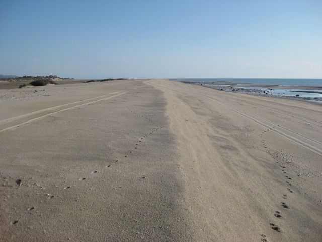  =============================================================== Sunday morning we got moving south at 7:38 am and reached the Puertecitos entrance road in an hour (time includes adding air to the tires once we were off the deep sand of Shell Island). The Puertecitos road is at Km. 74.5 and the new, wider, high speed highway begins here. The 52 mile highway from San Felipe to Puertecitos is an older style, narrow paved road with sudden, steep vados (dips) that prohibit high speed. I reset my Tacomas trip odometer at the Puertecitos junction to note the mileage where the new pavement has reached, and other points south. Playa Cristina is at Mile 5.0, La Costilla is at Mile 6.1, the wide turnout with the view of the Enchanted Islands is at Mile 14.7 and just before Km. 100 marker. Okie Landing (a fishing resort from the 1960s with just concrete slabs remaining) is at Mile 25.5/ Km. 117. The pavement ended just north of here one year ago. The end of pavement this trip is at Mile 31.3, just beyond Km. 126. That is almost 6 miles (10 km.) in one year. This is no rush job, but the quality of the highway is fantastic, with a 110 kph (~70 mph) speed limit. Turnoffs to Campo Delfines is at Mile 31.9, Punta Bufeo is at Miles 36.6, Papa Fernandez is at Mile 41.7, Military checkpoint is at Mile 42.8, and the Pemex gas station/ Alfonsinas road/ Rancho Grande store are at Mile 44.2 from Puertecitos road and the time was 10:06 am. The remaining unpaved road to Bahia San Luis Gonzaga is graded smooth. From the end of pavement to the Pemex and Rancho Grande is 12.9 miles. We topped the gas tank at Gonzaga Bay. Trip odometer reset to 0. Las Palmitas oasis/ El Camino Real access road is at Mile 7.2, the first boojum (cirio) trees were at Mile 13.9, and Cocos Corner is at Mile 22.4. We were at Cocos from 11:00 to 11:52 am. It was a nice visit, Coco seemed quite happy, and his only request was for a new battery for his quad. Otherwise he gets around on a wheelchair or walks on his stumps. At Cocos when we arrived were a couple from Ventura in a Jeep Wrangler with good off road tires. They wanted to go south through Calamajue Canyon, but Coco had told them the water was too deep for them to take the risk. Just a couple weeks earlier, Bajatripper had passed south via Calamajue and reported the stream much smaller than typical and the water was no problem for his Toyota 4Runner. I told the couple that they could follow me and I would be happy to pull them through with my Tacoma, if needed. Coco said he wouldnt take responsibility for them, and I assured him that I would! There are two roads southbound from Cocos Corner, the most used one is the main road to Highway #1 at Laguna Chapala which is graded and will be the route or close to the route of the future paved highway. The other goes through Calamajue (say: Cal-a-ma-WAY) canyon is was the main route south before 1983 when the graded road from Laguna Chapala was completed. For several miles, the road and the year-round stream of mineralized water are one in the same. The Baja 1000 race often uses the Calamajue route, and that often creates a difficult drive until nature repairs the damage. The road begins heading east and for 6.3 miles is a graded road that continues to the Sea of Cortez (also called the Gulf of California) at Puerto Calamajue. The road we want turns south off the graded road and in 6.6 miles arrives at the top edge of the Calamajue river gorge. To the left here are ruins of a gold ore processing mill from the early 1900s. The road drops to the valley floor and at Mile 13.1 from Cocos Corner a faint track goes to the left and climbs up the opposite bank 0.4 mile to the first site of the 17th Spanish California mission, founded in 1766. Only there for a few months, the mission was moved because the water was far too salted with minerals to grow any crops. The new location was given the name Santa Maria de los Angeles and the first location has typically only been known as Calamajue, the local native Indian name (however one Jesuit missionary wrote that it was first called Nuestra Señora de Columna). We made lunch next to the ruins of the mission and rock corrals, probably built by miners years after the mission period ended. We got on the road again at 1:25 pm and soon were driving in water and across only a couple of deep puddles, but no challenge at all for either the Jeep or Toyota. At mile 21.1 from Cocos Corner (not including the side trip to the mission) we were out of the canyon and passed the access road to Highway 1 at Km. 251. This cut across road was built in 1973 during the building of Highway 1 to get water, needed for compaction of the roadbed. The next 6.9 miles are mostly slow because of the whoops (short, deep bumps) usually created by race traffic. After passing Rancho El Crucero, opening the gate across the road (and closing it behind us), we reach Highway 1 at Mile 28.0 from Cocos Corner and at Highway 1, Km. 261. We add air to the tires for highway running and are on our way at 3:02 pm. The couple in the Jeep headed for Bahia de los Angeles to finish their vacation. Reset trip odometer to 0 at El Crucero/ Km. 261. Mile 13.0 is the Bahia de los Angeles junction. The next military inspection station is at the turnoff to El Tomatal, near the Pacific coast of Baja California. Mile 69.9 is the Villa Jesus Maria Pemex station (121.2 miles driven since Gonzaga Bay gas fill-up) and after topping off we are southbound at 4:20 pm. Normally, one expects to show his tourist card at the state border, near Guerrero Negro and typically, this is the only place were you are asked to show it. A big stop sign is in front of the immigration office, just a bit south of the huge steel eagle and traffic circle, built on the state border between Baja California and Baja California Sur. We stopped, anxious to show the officer our papers, but he just glanced from the doorway and waved us on. The southern half of the peninsula is on Mountain Time, so we advance our trucks clock from about 5 pm to 6 pm. Also the kilometer markers work in reverse, getting smaller as you drive south. We pass through Vizcaino at 6:48pm (65 miles south of Villa Jesus Maria). We pass by San Ignacio (Km. 73) at 7:30 pm after another military check. Now, if it is your first time into Baja, do not pass San Ignacio without taking the short paved road right, to the plaza, to see this beautiful oasis and giant stone mission church. The highway makes two steep drops to the Sea of Cortez, the second is the steepest and is called Cuesta del Infierno (Hells Grade). On our way south, it was unpaved as new highway work is being performed. On our return, paving was underway. We arrive at Santa Rosalia (Km. 0) and go to the second Pemex station on your left (next to the harbor), as the other three have a bad reputation for dishonest pumps or attendants. In fact, the primary bad station (just ahead, on the right) was closed for remodeling (and maybe tamper-resistant pumps?). It was just after sundown when we left at 8:22 pm. We arrive at our destination on beautiful Bahia Concepcion, just as it was dark. We will camp this and the following two nights here, getting some long awaited rest and enjoying one of Bajas most beautiful bays and beaches. Some photos:  Islas Encantadas (Enchanted Islands) viewpoint parking, near Km. 100, south of Puertecitos. 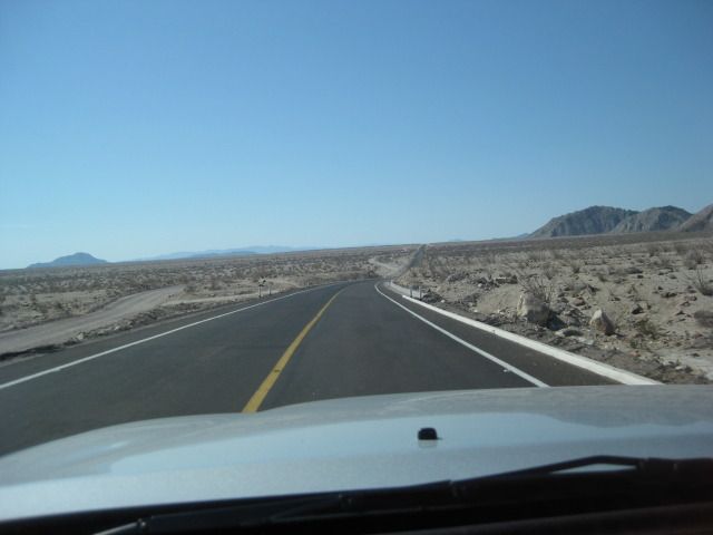 New, fast highway south from Puertecitos.  End of pavement, July 15, 2012 (about 13 miles north of Gonzaga Bay Pemex Station).  View north from south end of highway, near Km. 126.  First view of Bahia San Luis Gonzaga.  Road south from Gonzaga begins smooth, but gets rockier as one nears Cocos Corner.  The first boojum tree I spotted along Highway 5, about 8 miles north of Cocos or 14 miles south of Gonzaga.  Elizabeth greets an old friend, Coco.  Coco wants a hug!  Coco is surprised to hear the couple (John and Rachel, walking the length of Baja) have arrived in La Paz, and shows us their entry (and his cartoon) of when they passed here weeks earlier.   The old gulf coast road south to Calamajue Canyon. 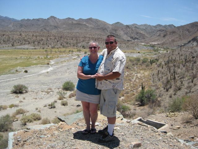 Baja Angel (Elizabeth) and I at the mill ruins on the edge of the cliff at Calamajue.  We arrive at the 1766 mission site. 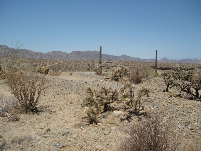 The adobe walls have all melted down.   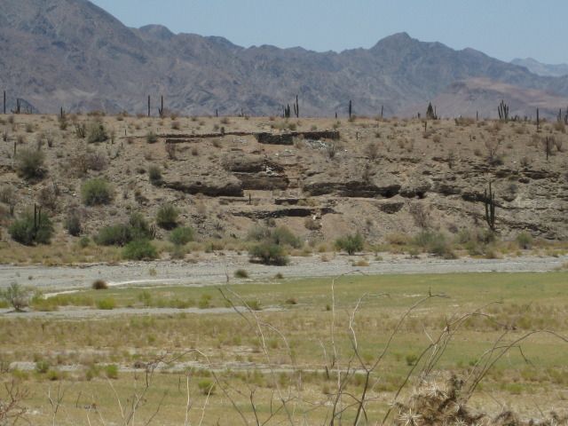 The view of the gold ore mill ruins, across the canyon from the mission site. 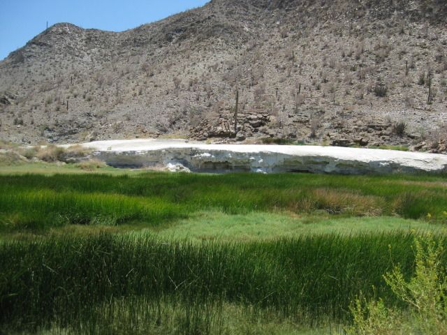 White mineral deposits from springs along the creek, in the canyon.  The deepest puddle this month!  Lots of colors in the canyon.  Several palms are growing in the canyon, too. 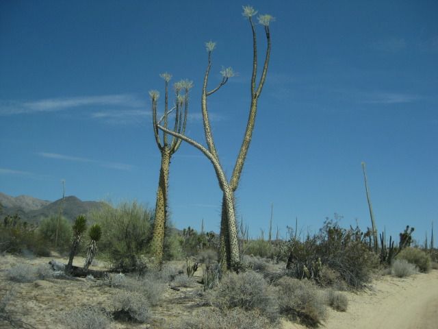 Once out of the canyon, the Baja desert begins to entertain us with dancing boojum trees. I am now driving to get to our next camp before it is dark (driving highways in Baja in the dark is not a good idea because cattle and burros are attracted to the pavement at night, plus you miss great scenery).  The unpaved, wider but still steep Cuesta del Infierno, near Santa Rosalia.  Last photo today showing some old French mine buildings, across the highway from the gas station. =============================================================== Monday, July 16 (Day 3): We awake to a beautiful day on a tiny little bay on the bigger Bahia Concepcion. There are 9 palapas or cabañas made of palm leaves on the white sand beach. A large family on vacation is at the palapa on the north end and we are using the palapa at the south end. We basically are in vacation-rest mode now for the next 48 hours and the ills of civilization are 600 miles away. Glorious weather, wonderful sea water and we do as little as possible knowing soon that our friends Steve (Bajatripper) and his wife Zully will be showing us plenty in, and around La Paz! That afternoon, we go to the nearby restaurant at Playa Buenaventura (just south over the bridge from the closed, rundown hotel on the same beach). We visit with the friendly owners Mark and Olivia who offer us use of their Internet (we werent in that great of a need yet) and cold beers (we did enjoy those). We also treat ourselves to their famous cheeseburgers with all the fixings. Tuesday, July 17 (Day 4): More of the same great Baja beach time! That afternoon, we drive to Mulege (Moo-le-HAY) for dinner, ice, and top the gas tank. Our favorite beach restaurant El Patron was closed, so we try the place next door, Pancho Villas and there was just one other table occupied. Business is way off in Baja, as well as back in America! We order a shrimp dinner, and while it was good, it was less than what we had received at El Patron, in years past. We got gas at the pump in the middle of town and bought a block of ice at the ice plant just south of Mulege, across from the newer gas station. The only issue camping on a tropical beach are mosquitoes. We heard that Bounce fabric softener dryer sheets repel bugs, so we stick them in our pockets. It did seem to work, but when we were unprotected they did bite us a bit. We also have the citronella candles and Raid area fogger. Daytime temperatures were never over 95º along the coast and the water was great, not too hot but not chilly, either. Now some photos: 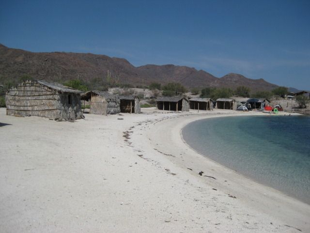 Playa La Perla on Bahia Concepcion (just south of El Requeson).  Our new easy up tent is great windows all around that can be closed and it is tall enough to stand in.  Our view from the tent.  The palapa is open on the inland side, a bit backwards unless it was to block wind off the bay?  We have these floating chairs, which are perfect in the Sea of Cortez.  Is there any better way to enjoy a cold Tecate Light?  At Mark and Olivias Playa Buenaventura Restaurant, just north of El Requeson.  The cheeseburger in paradise, they are great!  The next day, we saw some of the damage from the flash flood along Muleges river. This was a few years ago, and has still not been fixed.  Our shrimp dinner at Pancho Villas on the north river road.  Back at Playa La Perla for the evening.  The next morning, we will head for La Paz! =============================================================== Wednesday, July 18 (Day 5 & Our 4th wedding anniversary): We have a morning swim and we pack up our campsite into the Tacoma. We drive out from La Perla at 9:40 am and I note that we were 28 miles south of Mulege. There is another military inspection about 15 miles north of Loreto, and as at the others, it is brief and professional. Thanks to our friend Phil C, we learned that the great fruit stand that was also across from the mission in Loreto, in 2009 was now only along Highway #1, just north of the divided part of the highway, about Km. 2.5. It is on the west side and you will se the tropical plants and signs for Coconut drinks, etc. It is called EL CAÑAVERAL and run by Charley. We ordered two fruit salads, and they were as amazing as we had remembered them from 2009. We also have a coconut horchata which was a great refresher in the hot, humid climate. The live iguana that we photographed in 2009 is no longer alive, but on display along with some other stuffed and live critters. Charley has several banners touting the nutritional value of the many fruits he serves in various preparations and drinks. We are on the road again at 11:30 am and climb over the Sierra Giganta then the long drop west to Ciudad Insurgetes, where the highway turns south and becomes a four lane road to Ciudad Constitucion, a large agricultural center on the Magdalena Plain. It is 175 miles from our fill up at Mulege, so we top the tank just so we dont roll into La Paz on fumes, 126 more miles to the south. It is 1:18 pm when we leave the station in Constitucion. There were many reports of local police ticketing tourists for not fully stopping at the many signals going through town, or for speeding, or for nothing. We never saw a cop both times passing through this city. However, if stopped and you are certain you did not violate the law, then hold you ground, ask to go to the station and see the judge. Traffic fines are low in Mexico, despite what a cop may say to scare you into paying him a bribe. Chances are pretty high he will not waste any more time on you and look for weaker prey. We arrive in La Paz at 3:54 pm and before heading to Steve (Bajatripper) and Zullys home, we have a look at the Malecon in La Paz. A malecon is a wide sidewalk along the sea or harbor, often a social gathering area at sundown when it cools a bit. We arrive at Bajatrippers to find a note saying they went to Tecolote Beach to drop their daughter off, and would be back about the time we got there, and sure enough, just as we finished reading the note, they pulled up! Bajatripper (Steve) first lived in La Paz when his mother and step-father were doing archeological digs in southern Baja California, back in the early 1960s. Look for scientific written works by William Massey and Lee de Massey. Today, Steve and Zully have a beautiful home with a guest house and swimming pool that had previously been built for a general, stationed in La Paz. They have been remodeling and landscaping it and their work is commendable. We would be spending five nights there, but the next four full days we were out seeing and doing so many great things! That evening, we all go out to the Malecon to see La Paz come alive as the sun sets! Viva La Paz! Now some photos: The first 7 at at Loretos EL CAÑAVERAL fruit salad paradise       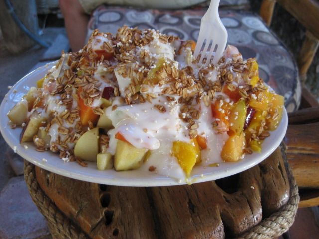  Back into the desert!  Arriving in La Paz 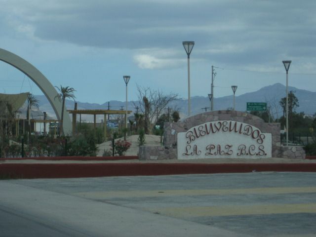    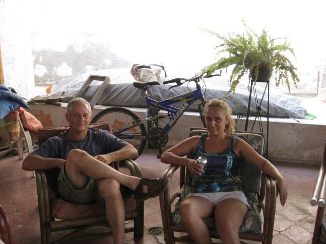 Bajatripper (Steve) and Zully  On the Malecon in La Paz 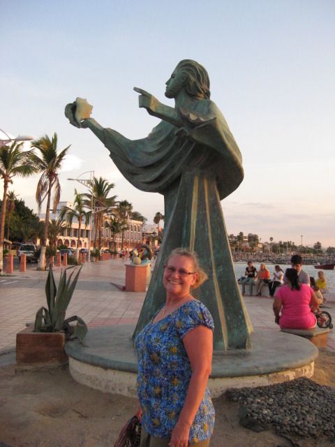 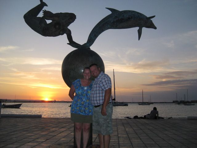 Married 4 years this day 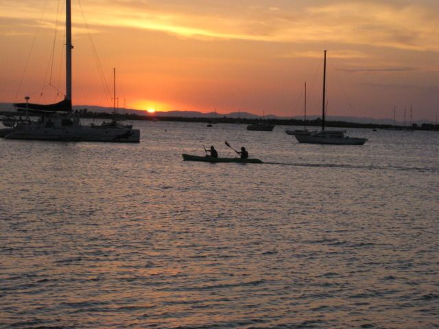 What a great place!   Our first big tour day begins tomorrow, DAY 6, stay tuned! =============================================================== Thursday, July19th (Day 6): Today Bajatripper drives (I can use a break) and our first stop is to pick up some burritos for breakfast on the road. We pull up in the village of San Pedro, about 15 miles south of La Paz and Zully orders several yummy treats for us. This seems to be a popular item as others are doing the same for a meal on the go. In a few more miles we climb into the tropical hills and arrive at El Triunfo, a gold and silver mine town born in 1862. The town grew to 10,000 inhabitants and was the largest town in Lower California for a short time. When a hurricane flooded the mines in 1918, activity had all but died here. The Boleo Company (of Santa Rosalia copper mine fame) tried to get operations going again, but gave up in 1926. The ore mill ruins and railroad bridges are interesting as well as the cobblestone streets in a now quiet town. We spend a lot of time looking around and taking photos (see them below). It is sure great to have Steve as a historic travel guide! Too many things are missed unless you slow down and take a closer look. About 4-5 miles from El Triunfo is the older mine town of San Antonio, started in 1756 by a Spaniard named Gaspar Pison. He was a rival to California first commercial mine operator, Manuel de Ocio who got a special permit to mine silver beginning in 1748, in an otherwise Jesuit controlled area. Ocios ore mill was called the Real de Santa Ana and is about 7 miles south of San Antonio. The church in San Antonio was built around 1825 and is regarded as one of the best-looking colonial style church in Baja. The Real de Santa Ana was shown to me by the late Jimmy Smith of Los Barriles, San Ignacio, Baja racing, and flying fame. Jimmy told me back in 2001 that the Real de Santa Ana was one of his favorite places to visit. It is special in that it is the oldest mining operation in all of California and it took special efforts to get the Spanish Viceroy to over-ride the Jesuits power-hold over any foreign activity on the peninsula. Bajatripper had attempted to find it in the past, so I was happy to give something special to him. The access side road is only a couple miles down another dirt road off Highway 1, but a locked gate was soon reached, that wasnt there 11 years ago at my last visit. We found someone nearby with a key, and thanks to Steves fluent Spanish and sincere desire to visit the site only for its historic importance, we gained entry and drove to the trailhead. Located in a tropical arroyo with mango, plum and flowering trees, it wasnt long before we arrived at the first mill structure, continued to the second, then finally found the horno (oven) in which the silver was melted into ingots. While there, the sky darkened, and thunder and lightning entertained us. Steve found a small pitahaya fruit and Elizabeth got to taste one for the first time. Next stop, was San Bartolo which is perhaps the mango capital of Baja California! Mangos everywhere for sale and being dried and candied. We went across the arroyo to a spring fed swimming pool, very popular in the warm days. Fresh water pours out of the mountain here and it is all put to good use for the town and for recreation. Next stop is Los Barriles, and we have lunch at a BBQ place called Smokeys . This was the first time on our trip we saw more than one American family in the same day, at the same place! Sadly, American tourism has dropped due to a combination of fear and economics. While I cannot due anything about our lack of income, I will tell you that Baja California is not a place where any foreign tourists need to fear. Crime and violence are typically near the border, on the mainland of Mexico and between drug traffickers and law enforcement. Tourists are not a target, and you have a lot more to fear in your own city, north of the border. We now turn north, and follow the coastline on a dirt road, passing many beautiful homes (most for sale) and the Punta Pescadero Resort and airstrip. The road deteriorates the further north we go. One stop to look at the beach we find a sea turtle nest and her track to/from the water, very cool! We leave the coast and climb over a mountain and drop to the agricultural region of San Juan de los Planes. It is now dark, but we have a paved highway all the way back to La Paz (BCS #286). What a great day! More to come Now, the photos: EL TRIUNFO:      Railroad bridge  Bajatrippers photo of the church in El Triunfo  Mine shaft deep! SAN ANTONIO:    REAL DE SANTA ANA: 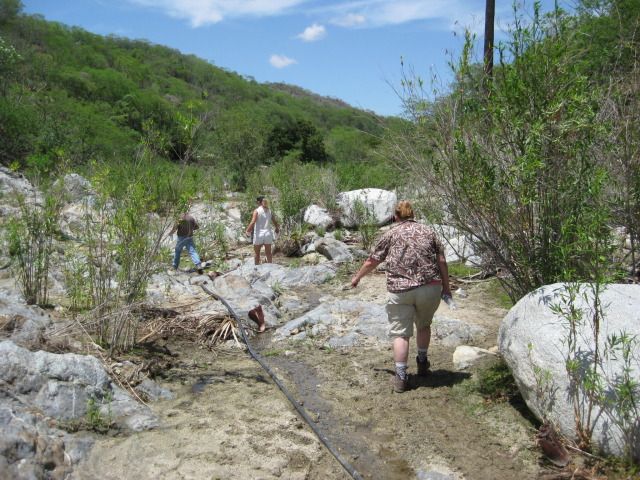 Walking from the road down the arroyo to the 1748 ruins.    Wild mangos  Taste great!  Pitahaya Dulce, the native fruit so popular with all who have lived on the peninsula.  We arrive at the mill ruins. 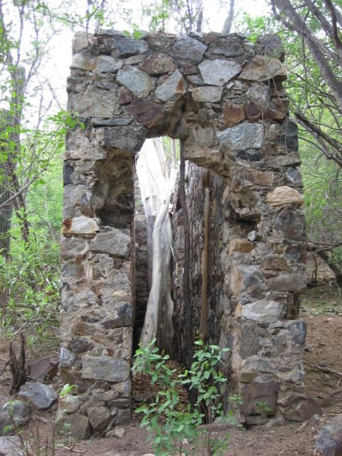      The horno at Real de Santa Ana.  SAN BARTOLO:   COAST NORTH OF LOS BARRILES:   Punta Pescadero airstrip and resort.  View from water.   A fresh water spring on the beach? SUNSET near SAN JUAN de los PLANES:   =============================================================== Friday, July 20th (Day 7): Today, much less driving as we have a visit to two museums in the city of La Paz and spend the afternoon at two beaches: La Balandra and Tecolote. Steve and Zully were our hosts and guides, as we toured two museums featuring Baja California Sur history. Next, we went to the plaque on a city side street placed by INAH as the possible location for the mission of La Paz, of which nothing remains. The modern church, a few blocks to the north is named as the mission by some books, but there is no connection in reality. Bajatripper has uncovered some evidence that the true location was even in a different place than the plaque, a bit more south? Later, we head to Bahia Balandra and walk out to the famous mushroom rock a popular La Paz photo site. We then head north to Tecolote Beach, which looks across the San Lorenzo channel to Isla Espiritu Santo. Elizabeth and I go for a swim in the calm water as Steve and Zully watch from the beach Soon Elizabeth says something has hit her arm and she describes the pain then I get hit on the ankle yep, jellyfish (agua mala). The single string kind, nothing you can easily see. The burning goes away later, but we know why Bajatripper and Zully, didnt join us! LOL. That night, we have dinner at Bajatrippers favorite hot dog cart, and they make more than hot dogs there. A big line forms soon after we order our burritos and hot dogs. Enjoy the photos:  On El Camino Real (photo in one museum)  The plaque at the INAH location for the La Paz mission. In the next museum:  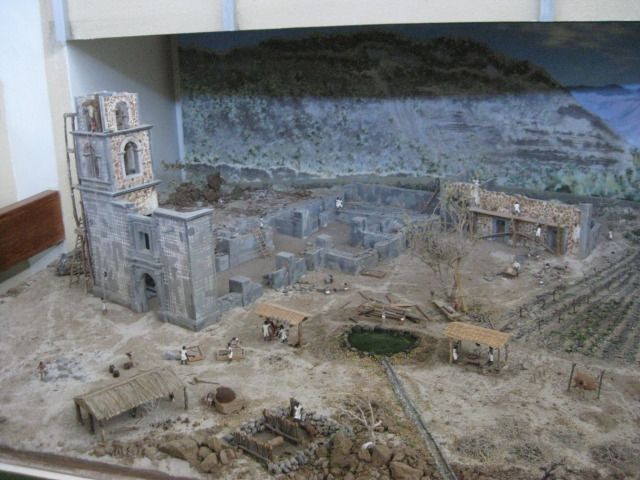       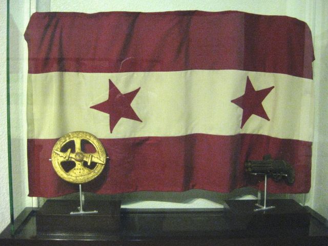 The flag of William Walkers Republic of Lower California and Sonora (he claimed to be president of)  El Triunfo  A sugar cane press (Todos Santos history)  Some interesting items read the following  We stop by a tile shop, and see some wild bathroom fixtures  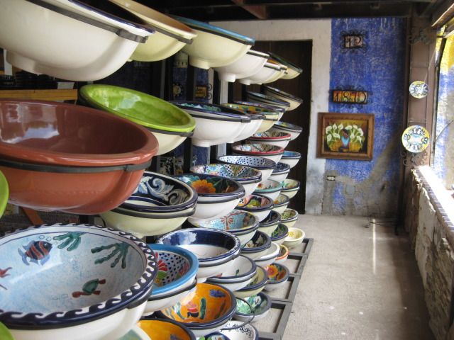 Bahia Balandra: 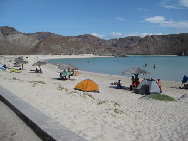  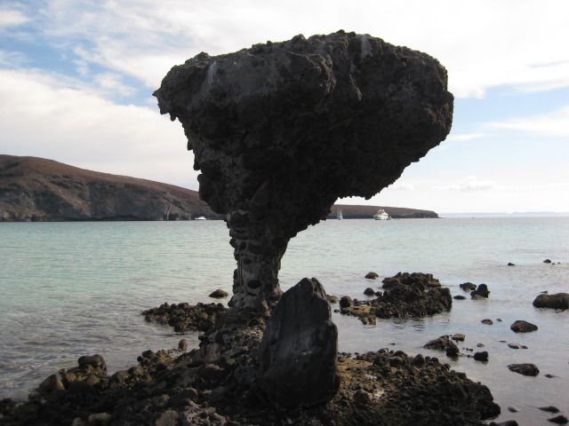  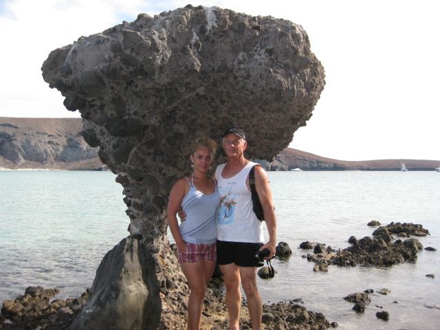   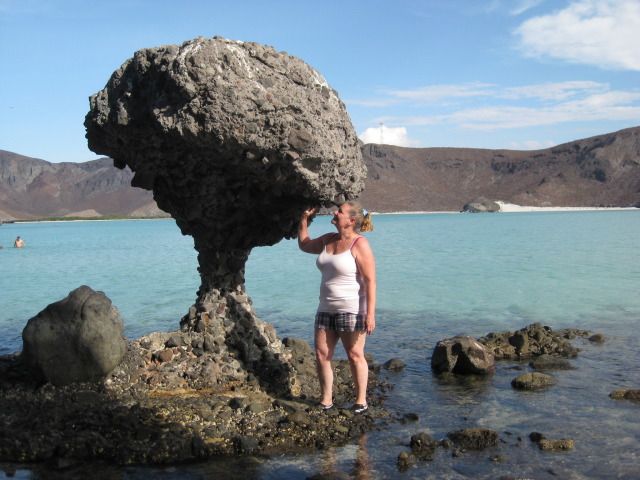 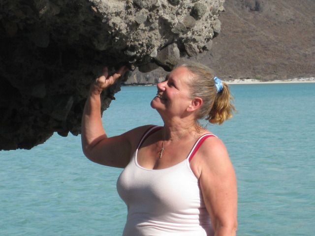 Baja Angel, my joy and love  On Tecolote Beach 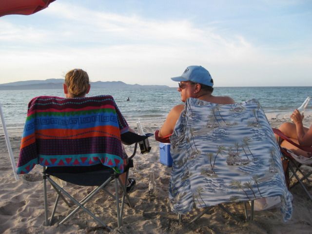 Hot Dog Stand, Baja Style!   End of Day 7 and Week #1 of our Big Baja Trip 2012... There is a whole lot more, and some big surprises yet to come stay tuned as tomorrow, we go south to Cabo and beyond! ============================================================= Saturday, July 21st (Day 8) Today we use the Tacoma to drive the Cabo Loop (go south from La Paz to Cabo San Lucas on the Pacific side via Todos Santos, and return north to La Paz on the gulf side, via Los Barriles). The total miles we drove was this day was 247. The Todos Santos/ Cabo highway (Mexico #19) has been widened to four lanes except for a few miles around Todos Santos. We do take a side trip in Todos Santos and photograph a wall where anti-mining graffiti was painted (a Canadian company has been trying to open a new gold mine some miles from Todos Santos, but not everyone seems to be in favor of it. Just a few miles south of Todos Santos we take a dirt road angling to the southwest from the highway and park for the ½ mile walk to the beach of San Pedrito. The walk takes you from pure desert to pure tropical paradise, and soon you could be easily dreaming of a scene from the South Pacific islands. We are after all in the same latitude as Hawaii. An old ruin near the parking spot was once the villa of a Mexican general and an airstrip was there, too I will let the photos tell more. Bajatripper can fill in the additional history as it is quite interesting! Photos:  4 lanes south from La Paz to Cabo, except through Todos Santos.  Protesting a Canadian gold mine project in the mountains northwest of Todos Santos.  Ruins of a Todos Santos sugar mill.  Desert road to a tropical beach, San Pedrito.  Maybe a half mile walk to the beach. 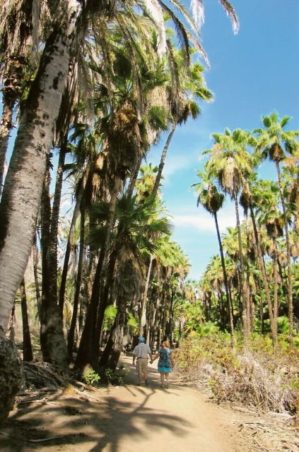 BT photo  BT photo     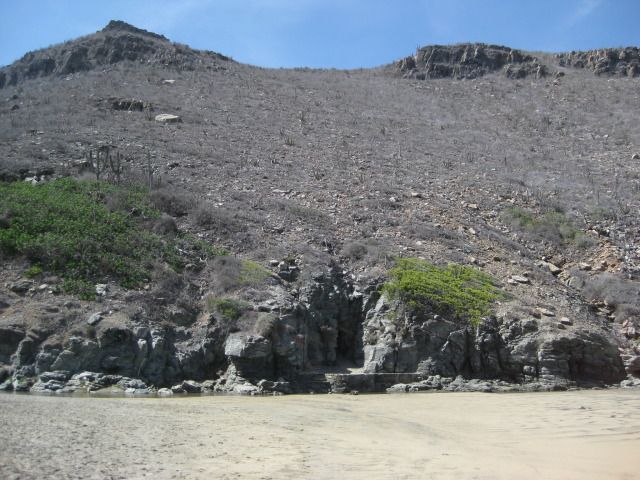  The general who had a villa at San Pedrito also had facilities for his beach guests. Bajatripper showed me an old photo showing some building here, a refreshment bar and restrooms, I recall?     BT photo  BT photo Time to head back to the truck 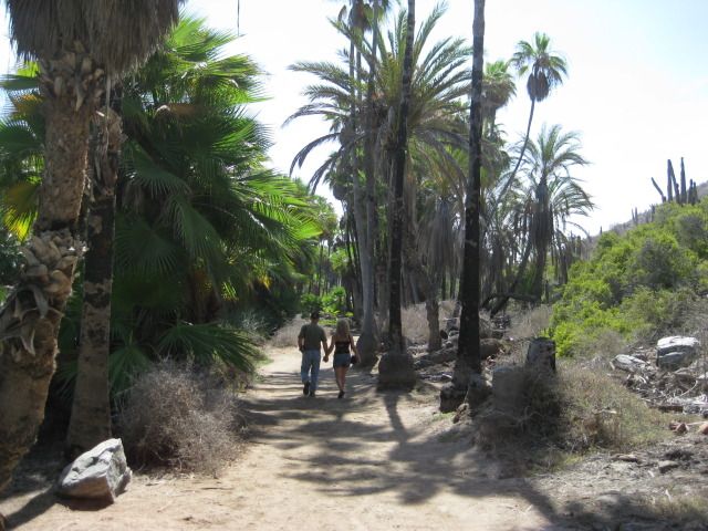  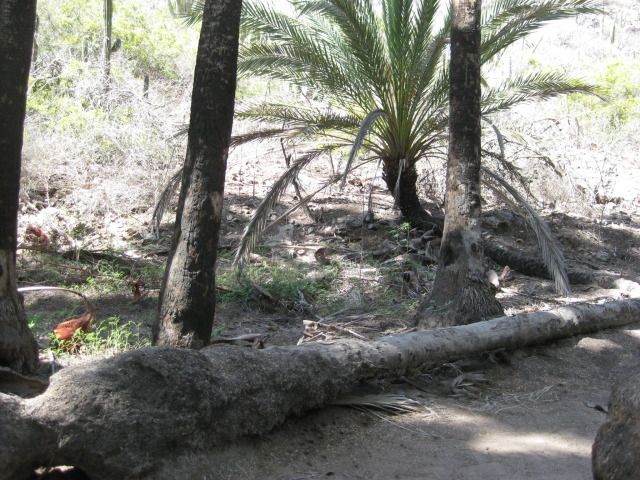 Ever see a creeping palm tree?   BT photo 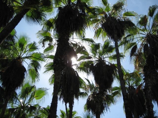 What I was photographing. Steve says lets go look at the generals villa first we pass the watchmans home (it is empty).          Next, we drive south to Lands End, Cabo San Lucas the tip of Baja! ------------------------------------------------------------------------------------------------------------- It is an easy drive on south to the end of the California peninsula at Cabo San Lucas. When I first came here in 1966, it was a small fish cannery town with a pier and a salt flat that was an airstrip for a lone tourist hotel, the Hacienda. When the Transpeninsular Highway (Mexico #1) was completed in December, 1973 tourism really had an impact on Baja California, and probably nowhere more than right here at the end of the peninsula. The old salt flat runway is now a marina, and the sleepy fishing town is a city with hotels, condos and nightclubs. Steve and Zully have a treat for us and it was outstanding a boat ride out to El Arco (The Arch) at the tip of Baja Lands End. There is a secure pay parking area by the docks for the glass bottom boats and water taxis. Soon we were on the water and entertained by our captain who pointed out the sites along the way. When you go out past the tip and look back at the arch and the splashing waves, it is quite an experience. Lots of photos and back after 45 minutes very fun. We have lunch at Cavendishs by the docks all good food and drink! Photos:  Entering Cabo on Hwy. 19.   We drive up to the Hotel Finisterra for photos.       Several interestingly named boats are for hire!  We get a good one!  The English pirate Cavendish is waiting for the Spanish ship Santa Ana to poke around the cape!   Plenty of colorful fish down there.   Rock is the Baja peninsula, upside-down.  BT photo We sure appreciated this ride what a treat! Thank you Steve and Zully!  BT photo There it is!          BT photo  BT photo Its a dragon taking a drink!   Only fitting that such a fantastic peninsula have such a dramatic ending!  Do you see the horses head? 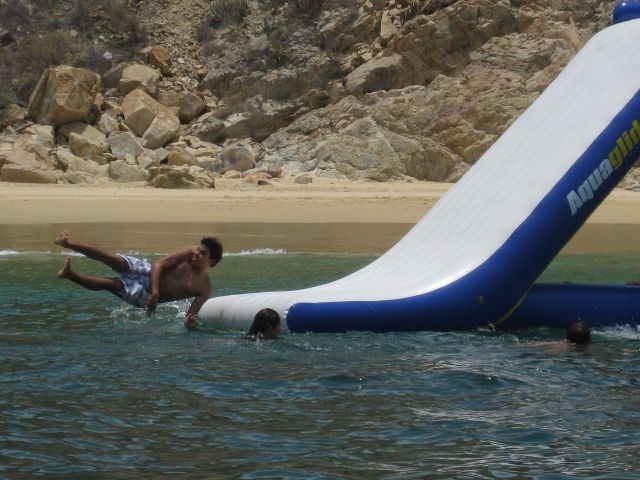  Mango Margaritas seem like a natural choice for our lunch beverage. 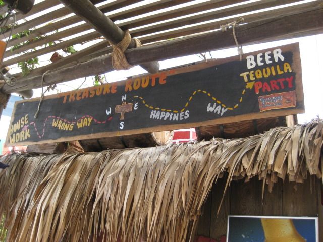 We leave Cabo San Lucas, and can only go north from there, but on Highway #1 back to La Paz. See the rest of todays adventures, coming up next (El Tule, San Jose del Cabo, Santiago, Las Cuevas)! ------------------------------------------------------------------------------------------------------- We leave Cabo on Highway #1 and head northeast past many resorts and condos towards San Jose del Cabo. Along the way, we turn off the four lane highway to El Tule beach. El Tule is a rare, undeveloped piece of beach here in the Los Cabos region of Baja. At the entrance to San Jose del Cabo, we take the right fork and go to the estuary for a walk along the water and palms. A totally unexpected place of serenity surrounded by so much development. The dirt path was patrolled by police, each riding (standing) on a Segway. The southernmost California Spanish mission was first established here by the estuary in 1730, Mission San Jose del Cabo was perhaps more important to provide water and fresh fruit to the ships of the Manila Galleon which sailed right off this coast on their way to Acapulco, with treasures from the Orient. The mission site was moved several times until the final site, which is in the town plaza, where a newer church replaced the ruined mission church here. Last photographed about 94 years ago, see the photo of it before being demolished. San Jose del Cabo has old colonial style, narrow streets and are all one way. It takes us some effort to drive in front of the church for photos, and no place there to park. A tiled mosaic above the church entrance illustrates the murder of a Jesuit priest by the natives during the Pericu Indian uprising of 1734. All four of the southernmost missions were temporarily abandoned during this revolt (La Paz, Todos Santos, Santiago and San Jose del Cabo). Highway #1 is four lanes until reaching the Los Cabos International Airport, then it is two lanes past farm towns that include Santa Anita, where the bus station next to the highway looks like an old home seen in photos of the past. We stop and talk with one person who lived there for over 50 years and says this building was there at least as long. It had very thick walls, as typical of early construction. Several miles north, the highway crosses the Tropic of Cancer and a monument consisting of a large white globe, marks the spot. Just beyond is the paved side road into Santiago, a tropical village at the final site of Californias tenth Spanish mission dating back to 1724. A modern church is built on the site, right on the paved road through town. The pavement ends at the Santiago Zoo, which despite protests by animal advocates, remains open and a popular place for family visits. Some five miles north of Santiago is Las Cuevas, The Caves . Access them by driving under the Highway #1 bridge, over the Santiago riverbed and a mile or so up it. The large cave is on the east side of the arroyo and in the entrance are beehives, way high up. Inside are bats, lots of bats! What a great tour Bajatripper has given us (again) today! On our way back to La Paz, we take some photos of the fishing boats off Los Barriles and the town of San Antonio from a view point along the highway. This has been an incredible day with so much sites and experiences! The photos:  El Tule (between Cabo San Lucas and San Jose del Cabo)      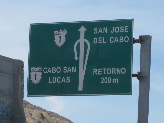 At El Estero de San Jose del Cabo:      BT photo  BT photo  BT photo 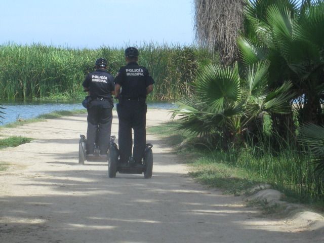    See the top of the mission/church, in town above the estero plants.  The beach sand, at the other end of the estero.   The modern church on the final mission location.  Tile mosaic of the Pericu Indians murdering Padre Tamaral.]  1918-1919 era photo of Mission San Jose del Cabo, the 12th California mission, est. 1730. 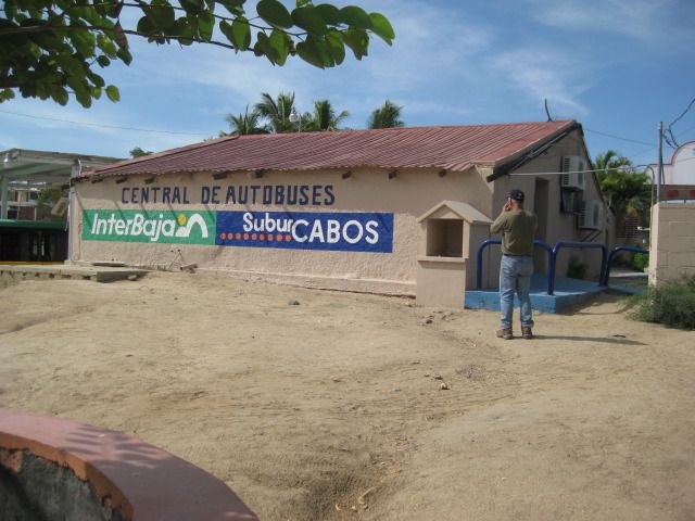 Santa Anita bus depot, but an very old home dating back many years.  My Toyota Tacoma on the Tropic of Cancer in Baja California Sur, Mexico. 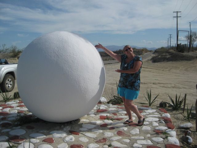 My wife on the Tropic of Cancer, silly girl!  Modern Santiago church on the final site of the 1724 Jesuit founded California mission, it was number 10 of the 48 total California missions.   At the zoo, we turn around and head back to Highway #1, to continue north.  Las Cuevas and the Bat Cave:   The next six photos are looking up, at the ceiling:     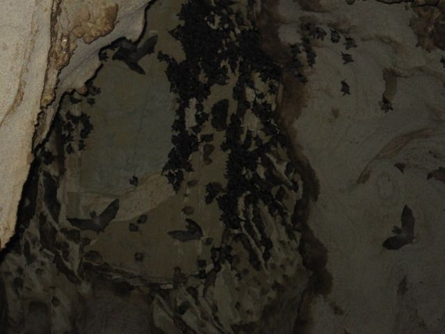  BT photo   Nearing Los Barriles on the Bahia las Palmas, East Cape of Baja California Sur. 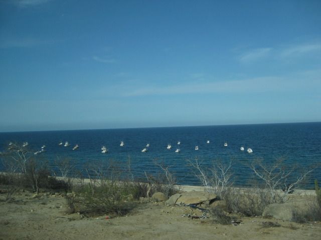 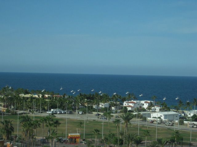  Looking down on San Antonio from a view point.  That wraps up DAY 8 (Saturday, July 21, 2012) Stay tuned for DAY 9 (diving with sea lions off the islands in the Sea of Cortez)! ============================================================= Sunday, July 22, 2012 (Day 9) Today is our island day featuring a boat ride from La Paz north to Isla Espiritu Santo and Isla Partida at the north end. We enjoy the scenery of La Paz from the bay and of El Mogote with its failed hotel and housing development (El Mogote is the sand bar peninsula facing the city of La Paz). Next, we go past Pichilingue and the now abandoned U.S. Navy coaling station that operated here from 1866 to 1925. A bit past Pichiligue is Bahia Balandra with its popular mushroom rock we visited from land on Friday. Next we zoom across the San Lorenzo Channel to Isla Espiritu Santo. On the southwest coast of the island is Bahia San Gabriel with its ruins of a pearl oyster farm from the early 1900s. We cannot beach the boat because of the rocks, so we go over the side and swim to shore to have a closer look at the immense rock works there. With some effort (mostly on my part), we get back into the boat and continue to the north end of the island and its nearly connected twin, Isla Partida. Here are many boats bringing people to some clear water shared by sea lions and we put on masks and fins and go in! It was the highlight of the day to swim with the tropical fish and the thrill of the day (for me) when a sea lion came within ten feet of me, showing its teeth! There is a fine line where the sea lions dont want the humans any closer to their spot, and that is fine with me! Following our dive time, we and other boats went to a nearby beach to have lunch and swim in the sand bottom bay. On the way back to La Paz, we stop to have a close look at a set of cliff caves called the mask, and the photos will illustrate why the name. The first Spanish sailors to come to California should have been warned by it, as most of them died in their attempt to land at La Paz. They were unwelcome by the Pericu natives, and the leader Fortun Jimenez and 22 of his crew were killed when they landed to take on water. The survivors sailed back to the mainland and word eventually reached Cortes about the island they discovered, rich with pearls The following year (1535), Cortes personally came to La Paz, (he named the bay Santa Cruz) to start a colony and harvest the black pearls. The colony failed and most did not survive the two years it was reported to have lasted. This was a wonderful day and it sure was the icing on the cake of our time in La Paz, thanks to Steve and Zully! It was only fitting for us to take them out to dinner at the famous resturant Las Tres Virgenes (alta cocina peninsular) owned by a friend and fellow Baja Nomad, Jesse. Here is what I posted on Facebook: We were in La Paz last month and came to Las Tres Virgenes with our La Paz friends Steve and Zully. The service and the food were OUTSTANDING, AAA#1. I am telling all my Baja bound friends that when in La Paz, they should treat themselves to a dinner here! My wife had the rib-eye and it was more of a prime rib and she said was easily the best she has ever eaten. Between the four of us, we could sample several offerings. The lamb taco appetizer was an awesome start to a great meal. My hat's off to Jesse and his brother Pedro for an outstanding restaurant and I only wish it wasn't 900 miles away from my home! The address is Madero 1130, Colonia Central C.P. 23000 La Paz BCS, Mexico. This is just a couple blocks up the hill from the Malecon, and north of the church. Telephone (612)123-2226 and they have a Facebook page, where I just posted the above comments. Sadly, Jesse wasnt there, but his brother Pedro took good care of us and got Jesse on the phone so I could chat with him. It was a repeat of the last time I came to his restaurant (in Tijuana, back in 2006) and he was gone that day, but I spoke to him then on the phone. Well, it was a fantastic time in La Paz and the Cape region the past four full days. Tomorrow we head back north with plans to overnight at Bahia Concepcion and then head out the Vizcaino Peninsula to meet Blanca and Les at La Bocana then return to Shari and Juans bed and breakfast at Bahia Asuncion. Enjoy the photos for Sunday, Day 9:  Leaving La Paz, some pretty large yachts are passed.  Looking back at La Paz, see the church steeples? 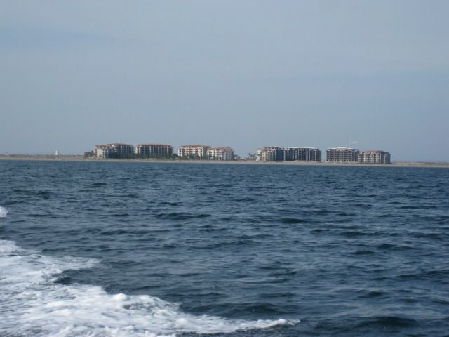 The doomed development on El Mogote.  El Mogote housing expect them to me gone during the next big hurricane.  La Paz gets smaller as we cruise north.  American Navy coaling station, closed in 1925.    The truck and car ferry returning to La Paz from the mainland.  The mushroom rock as seen from the sea.  Crossing the San Lorenzo Channel.  BT photo The San Gabriel pearl-oyster ruins of the early 1900s, on Isla Espiritu Santo.  BT photo Steve, Zully, Jorge, Nikki 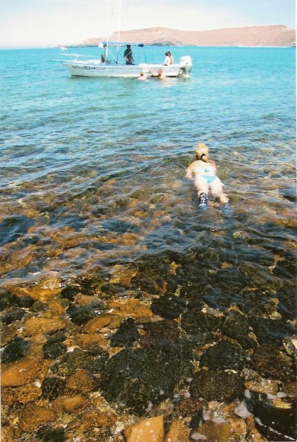 BT photo Returning to our boat.  BT photo Frigates and their nesting area.  BT photo  Several sea lions along the islands coast.   Clear sea water. IMG]/external/photobucket/cc212_DavidKier_Baja%202012%20July/Baja2012-1477.jpg[/IMG]  Nearing the snorkeling area we join many other boats.    BT photo After our snorkeling experience, we cruised over to a sand beach on the island for lunchtime.  BT photo Fishermens huts on the island.  BT photo A popular stop is to see the mask.  BT photo  BT photo Heading back to La Paz!  BT photo Such a great day, thank you Steve Bajatripper and Zully! Tomorrow we head north for more fun, Baja style! ============================================================== Monday, July 23, 2012 (Day 10) We have a final look at the beautiful back yard of Bajatrippers and say our goodbyes to Steve and Zully. We are on the road at 9:30am and head out of La Paz. There is no inspection at the checkpoint outside of town, as we are waved on through. About 70 miles from La Paz is a small town of Las Pocitas and I spot some interesting furniture on display, so we stop. It is the shop of Manuel and he permits me to take photos in his arts and crafts display. One item of interest is an artillery shell form Bahia Magdalena. Bajatripper had told me about how the U.S. Navy practiced shelling one of the islands of Magdalena Bay (without Mexicos approval), many years ago. We are back on the road at 11:15am. I note the the road to Mission San Luis Gonzaga is at Km. 195 ½ and would like to see it in person one day, but I know we need to keep moving in order to set up camp before dark tonight. The 14th California mission (est. in 1737) will have to wait until the next trip! We enter Ciudad Constitucion and the highway becomes a divided multi lane affair at Km. 209. There have been repeated reports of hungry city cops issuing tickets for the slightest or even no altercations. This was our second time passing through this city on this trip, and no police were even seen, let alone provided us any harassment either time. The highway to Puerto San Carlos is at Km. 212 and we soon are out of Constitucion. The highway remains 4 lanes wide for the next 16 miles to Ciudad Insurgentes, where Highway #1 turns to the east to cross over to the gulf coast. It is 12:31 at Insurgentes, as we keep moving back into the desert. I see lots of pitahaya dulce cactus, but the fruit is not yet mature. We pull off to take photos and see a dead cow, that is mostly bones. Elizabeth wants to save the horns, she doesnt ask for much. Not too much further we reach the top of the sierra, and the steep drop down to the coast. Ligüí is not far from the bottom of the grade, so we pull off at Km. 84 ½ (by the school) and drive 0.6 mile to the monument to the 3rd California Spanish mission, San Juan Bautista de Ligüí/ Malibat (est. in 1705). The mission foundation was totally washed away in 2001 by the changing arroyo, I took photos of the rubble back then. By 2009, on my next visit, people erected a cross and a parking area just beyond were the mission once stood, as a monument. Today we find that the arroyo has widened more and has started eating away at the new memorial site! There is a new grave across the road from the memorial park. We continue the half mile more to the beach of Playa Ligüí and see some property owner has almost made the beach unreachable with his new fence right up to the palapas at this Playa Publica. We continue on from Ligüí at 2 pm and arrive in Loreto at 2:30. First order is to top off the gas tank, as it has been 228 miles since La Paz. It takes 600 pesos to fill with 59.7 liters. Now with nearly all of those miles on the highway, my mileage would typically be 17-18 mpg with the load I am carrying. My first clue that the pumps at this Loreto Pemex (on the highway, by the entrance to town) are not accurate is the mileage with that many liters was only 14.4 mpg. When I filled up in La Paz after driving south, my mileage was 16.8 mpg. Oh well, nothing to do, the gas is still a great deal at $2.95 a gallon. Just a mile north, on the west side of the highway, is the great fruit restaurant El Cañaveral, run by Charlie. We each order the fruit salad (again) and I also try the Liquido de Mamey which is a smoothie made with the mamey sapote. What is a mamey sapote? Well, it is native to southern Mexico and Central America, and is the national fruit of Cuba (either for the sweet taste or that it is red inside)! Mamey Sapote | Fruit Maven and Mamey Sapoten | The Live Food Experience Are a couple of web sites showing them. I described the mamey liquido like a cross between a chocolate and vanilla milk shake. Yum!! We also had a serving of coconut horchata to cleanse the palate. It is 55 miles from Loreto to Playa La Perla on Concepcion Bay. Along the way is a military checkpoint, with the typical questions and search and then we saw several huge dust devils to the west of the highway. We arrived at La Perla on Bahia Concepcion about sunset. The other family that was there last week were gone, we were all alone until a seagull made himself our friend and actually would take food from Elizabeths hand! It took a while, mind you but it was pretty cool. Mondays photos:  On the road again!  Stopped here in Las Positas.        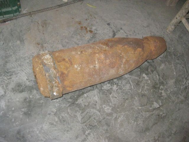 U.S. Navy shelling a Baja island, maybe 100 years ago?  Entering Ciudad Constitucion 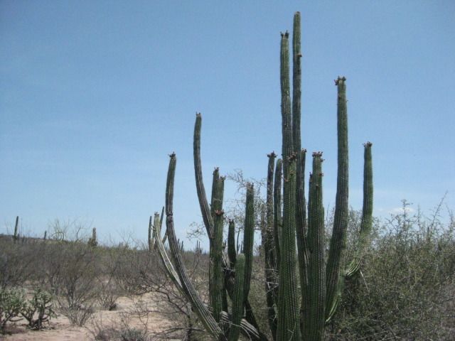 Pitahaya dulce cactus. Sweet pitaya/pitahaya cactus fruit.   Pitahaya agria cactus. Despite the name (Sour pitaya), its fruit is also excellent.  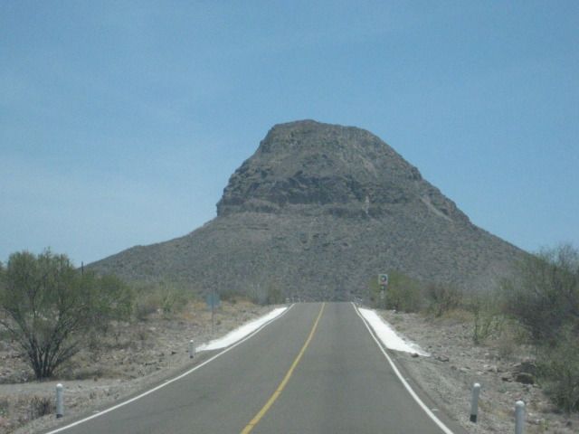  Back to the Cortez side we go! 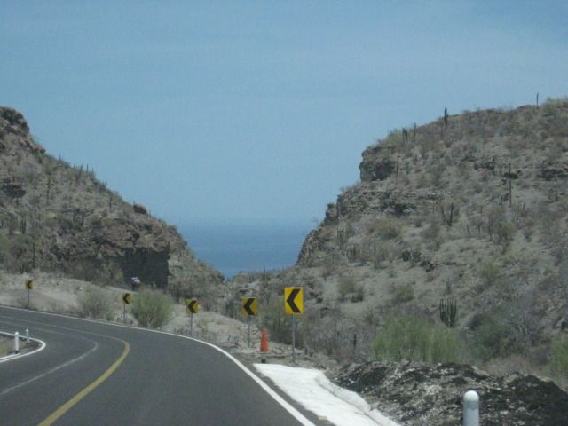  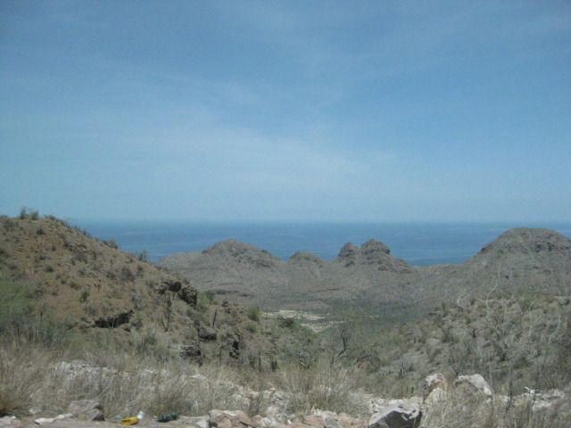   The only fork driving towards the mission and beach of Ligüí. To the right goes to Ensenada Blanca. 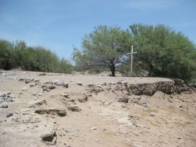 The monument to the washed away mission ruin is also soon to wash away. 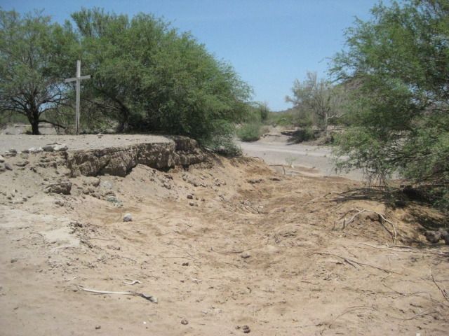  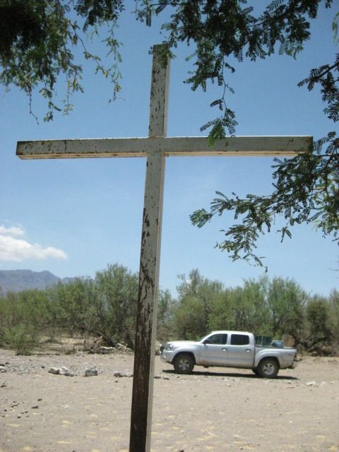    Playa Ligüí, A 180º panorama begins here, looking south and swings around to the north   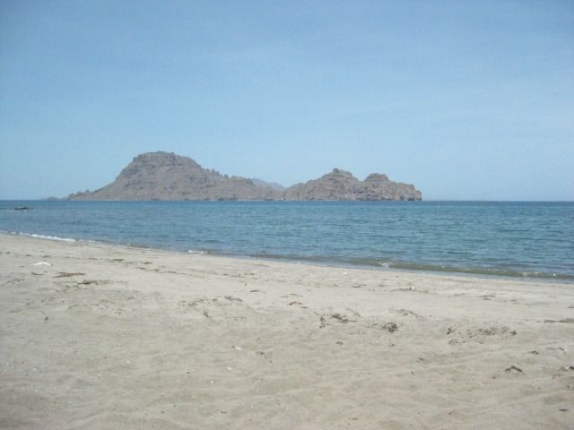    The Sierra de la Giganta.   This used to be a lagoon and island called Nopolo, I swam here in 1973. Now, its a golf course. 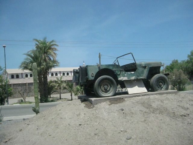 This Jeep at the entrance to Loreto must have a story?  Loreto is just a few kilometers away from these other Baja towns.  Back at the Fruteria El Cañaveral, just north of the Loreto entrance road.    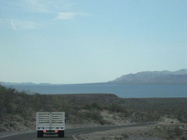 The south end of Bahia Concepcion.  The old Baja main road, carved into the hillside at Bahia Concepcion.  Driving into Playa La Perla, we use some of the old main Baja highway. This was the road to La Paz before 1970 when the new highway roadbed was built from Loreto north to Santa Rosalia. The entire new highway was completed in late 1973. 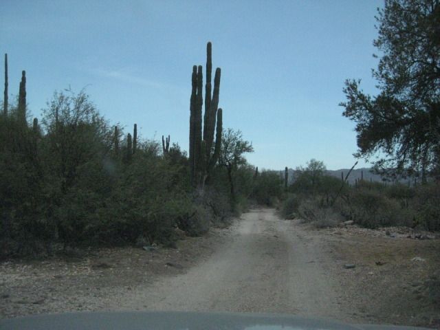  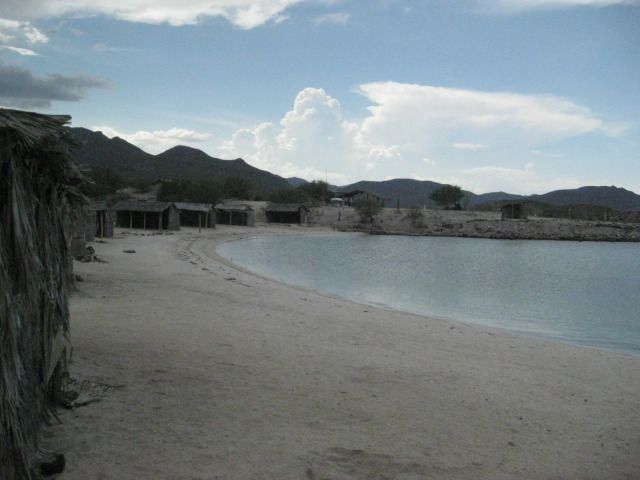     Tomorrow, we drive across to the Pacific coast of Baja, and meet new friends at La Bocana and see old friends at Bahia Asuncion! ============================================================== Tuesday, July 24, 2012 (Day 11) Our camp is pretty easy to pack onto the Tacoma, and this new easy-up tent is great. We leave La Perla at 9am and drive out on the El Requeson road, since we are northbound. We take photos of some views of Bahia Concepcion and of a highway crew painting new stripes on fresh pavement. Next we pass through Mulege, without stopping and the same for Santa Rosalia. We have a long drive to get out to La Bocana and Bahia Asuncion, on the Vizcaino Peninsula. That is the big point or hook of land that sticks out into the Pacific, halfway down the peninsula of Baja California. Both La Bocana and Bahia Asuncion have bed and breakfast establishments operated by members of the Baja Nomad forums on the Internet. We have stayed at Bahia Asuncion once before (in 2007), and were looking forward to seeing the additions made there, since. The town of Bahia Asuncion has become very popular with Americans and Canadians who heard about it on Baja Nomad, and came for the fantastic fishing or just a quiet get-away, in a small Mexican town. As we pass north of Santa Rosalia, and we get a photo of the new pier being built for the new mines openening up there for copper and manganese. New discoveries and a rising copper price will pump life into this former French copper mining town, on Mexicos Baja coast. The steep grade Cuesta del Infierno was being widened and repaved and we were one of the first to drive on the new pavement heading up the grade on this day. The narrow, shoulder-less Baja Highway, finished in 1973, is slowly being modernized to a wider highway with shoulders having enough room to allow bikes or pedestrians safe space from the trucks, busses, and cars the highway was built for. It also allows for broken down vehicles to not totally block a lane of traffic. We arrive in San Ignacio at 11:14 am and fill up the gas tank for the long drive from here. It is 163 miles since I filled up in Loreto, so I need a half a tank to top it off (40.3 liters/10.6 gallons), cost is 405 pesos ($31.40). The highway to Punta Abreojos joins Highway #1, 14.5 miles west of San Ignacio at Km. 97 ½ and the road is paved all the way to Abreojos now, 65.5 miles. In 2007, the pavement ended about 10 miles from town. We arrive in Punta Abreojos and miss seeing the road on to La Bocana, so we turn around at the end of town (built on a point) and spot the north road that drops down onto the salt flat which is smoother than the graded dirt road, we missed at the entrance to town. Of course, after a real big high tide, you dont want to use the salt flat! We leave Abreojos at 12:45pm and have an easy drive for 12.6 miles to the La Bocana Bed & Breakfast run by Blanca and Les Baja Bocana BB located on the west side of town with a clear view of the Pacific, beyond the expanse of low dunes. We are invited to see their rooms and then asked if we would like some chicken stroganoff Why yes, thank you! Their newest and biggest room is quite the accommodation. I called it the Deluxe room and took several pictures. We had lunch and there was even some chocolate/lemon cake for dessert. When I offered to pay for the great meal, she declined, but I said, for the children (Blanca has been helping the village children get and do things that can make a difference in their fishing village lives). We left La Bocana at 3:12pm and after missing the correct street out of town, found it (maybe the only 4 way stop sign intersection in La Bocana) with a small sign for Asuncion. The road now is a graded dirt road and had recently been graded, so the drive was pretty fast. A new water pipeline is being placed in a trench along the road nearly the entire distance to Asuncion. We reach the paved highway to Bahia Asuncion (at Km. 34), just 3 miles from town, and 44.7 miles from La Bocana, at 4:35pm. Juan & Sharis Bed & Breakfast is on the far side of town, on the point with a clear view of Asuncion Island. Take the left fork at the Fisherman Monument where the entrance road splits, then work your way over the rise to the other side of the point. To go any further past their B&B, you would be in the ocean! bahiaasuncion.com - Home . Shari was there when we drove up and showed us the new Rock room added since our last visit. It is actually two rooms, available together or separately, so it is great for a family with children. Another new room was nearly finished on the other side of Sharis house, the Dolphin room with great views. Upstairs will be another addition, in the near future. For dinner, Shari makes us abalone burgers! Food from the sea is her specialty and you would be hard pressed to find a more pleasant and accommodating host. Shari came to Baja from Canada to study the whales and marine life, over 20 years ago. She has made Baja her home, speaks Spanish like a native, and married to a local fisherman from the famous Arce family that date back to the time of Spanish soldiers who guarded the missions. Sharis daughter (born in Baja) and son-in-law help operate their campground in Bahia Asuncion, and are raising Sharis grandson, now about 2 years old! During the whale breeding season (Feb.-Apr.), Shari offers guided tours and whale watching from boats on the lagoon Ojo de Liebre (Scammons Lagoon). The gray whales swim right past her home, as well as they migrate to and from the Bering Sea, off Alaska. Here are todays photos:  Leaving Playa La Perla and there is the sand isthmus of El Requeson.  We camped there in 2007 http://vivabaja.com/707  One of the most photographed beaches on Bahia Concepcion is El Coyote.    The highway offers many great views of this big bay and the islands it holds.     Elizabeth was fascinated with how they painted stripes on the highway.    There is the Mulege mission in the distance, past the highway bridge, over the river. The mission was named Santa Rosalia de Mulege and was the 4th Spanish California mission, founded in 1705. The stone church we see today was constructed beginning in 1766.     Mulege is often known as the Hawaii of Baja.  New mine pier north of Santa Rosalia. 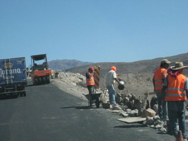 It was dirt last week, but we get to drive on new pavement going back up the Cuesta del Infierno grade.  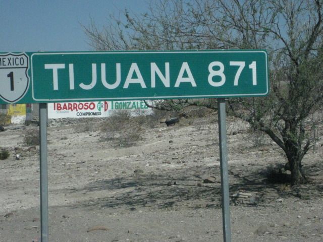 The distance from San Ignacio (540 miles) which is just 10 miles south of the halfway point between Tijuana and Cabo San Lucas (1,059 miles) on Highway #1. 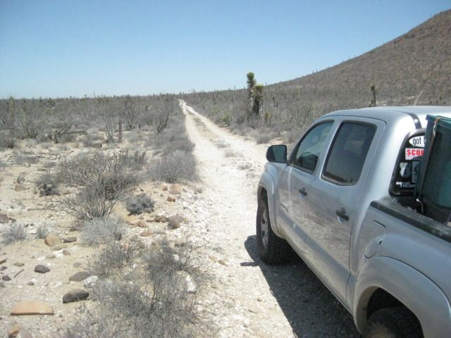 Just south of Highway #1, on the Punta Abreojos highway, the old main road is crossed so naturally, I turn onto it for a photo! This was the main road to La Paz from Tijuana before 1973. I traveled on this road with my parents in our Jeep in 1966... When driving in Baja was a REAL adventure!   Arriving in Abreojos, a new Pemex gas station is not yet open, up ahead.  Ospreys make their nests on any high object.  The fast road to La Bocana If the ice caps begin melting, then this would not be an option!  The front of Blanca and Les bed and breakfast in La Bocana.  The view from the porch.  Blanca and Elizabeth.  Nice place for a meal or drink, out of the sun and wind. 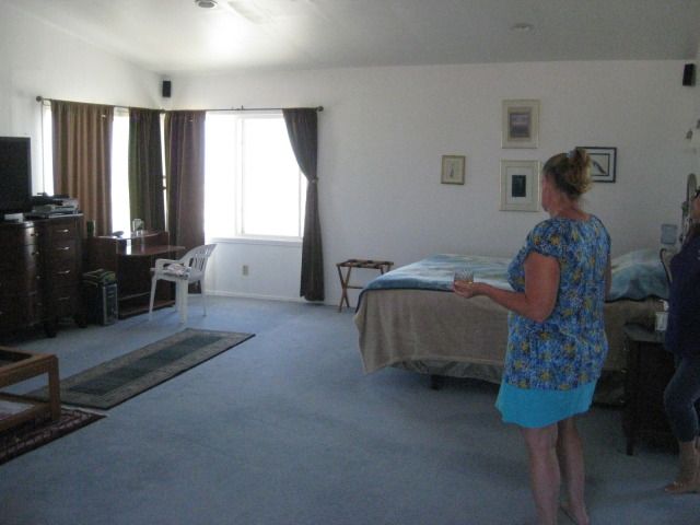 The Deluxe room.     View of La Bocana.   Blanca takes us on a tour of town. Here is where the fishermen launch their boats (pangas).  The school our friend Antonios (Baja Cactus of El Rosario) father was the principle here, many years ago. Probably not the same building.   The road out from La Bocana, northwest to Asuncion.   New water pipeline, coming over 100 miles from wells at Vizcaino.   We made it, the Blowhole Bed and Breakfast at Bahia Asuncion.  Shari shows us the new Rockroom, and we get to stay there for two nights! 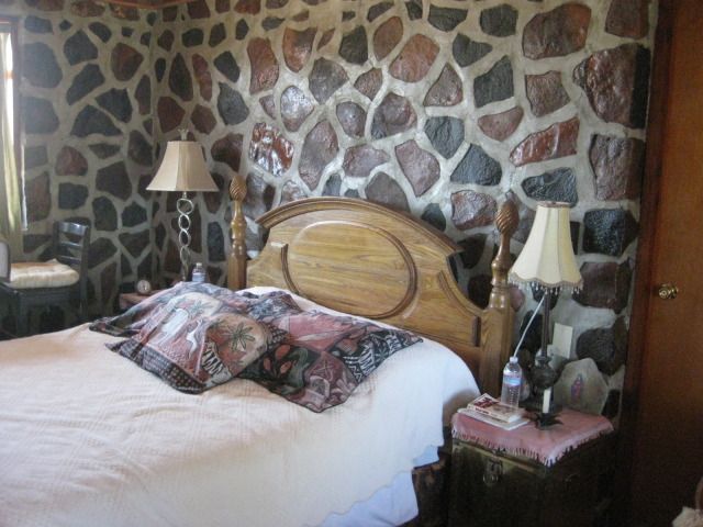  The view from one side of the Rockroom. 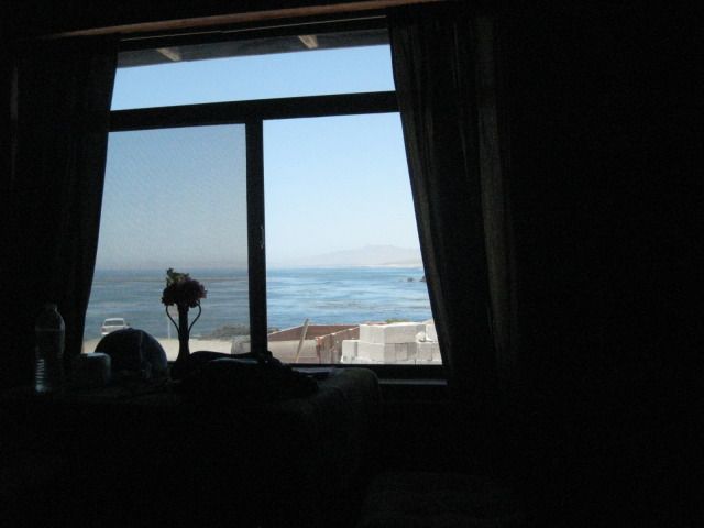 The other side view.  Shari makes jewelry.   The future upstairs room.  The Blowhole.   Hard to beat the view here, and listening to the sea lions barking from the island!   Tomorrow, we go hunting for fossils, including sharks teeth from the dinosaur age. ================================================================ Wednesday, July 25, 2012 (Day 12) We had a fantastic, restful sleep in the Rock room great mattress and the sound of waves and sea lions were great white noise affects! Shari serves us lobster omelets for breakfast and it is a super relaxing day with no rushing and no long driving. Ever since our first time at Asuncion, we have wanted to return to do some fossil hunting. Megalodon teeth Megalodon Shark | Facts and Information | Best Shark Info on the Web have been found in the hills near Bahia Asuncion and we were anxious to have a look in the badlands a few miles away. In fact, it was a request from Elizabeth to go so we could have a look, so think of this side trip to Asuncion as her anniversary present! Yah, I am willing to do things my wife likes like a good husband! Okay honey, if thats what you really want to do, I will go four wheeling for you and look for fossils. LOL What was a surprise is that not long after picking one place to start looking, Elizabeth found a tooth! Way to go Baja Angel! We just enjoyed looking at the hills and scanning the ground, and at another location, she found another and I found one. It wasnt as nice as hers, and was broken, but still it was fun. There also were lots of tube shaped pieces that looked light rusty ½ inch galvanized pipe. Shari would tell us later that they were coral fossils. We spent all afternoon out there and it was fun, just Elizabeth and I wondering about and comparing discoveries. I placed them on my tailgate to photograph before leaving them and the badlands behind as we returned to Sharis home and our Rock room. We met Baja Nomads Nan&D (Nancy and David) who live at Asuncion full time now. They came over to check out the new dolphin room. Nancy is an artist who has paintings, coffee mugs and other creative works on display at Juan and Sharis. For dinner we were fed lobster burritos and had a second great sleep. Todays photos:  Lobster, its not just for dinner anymore! 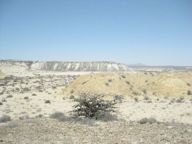 Asuncion Badlands  The first tooth was just to the left of my truck and about halfway down the slope. Look for shiny stones that stand out from the rest.   Whale bones are included. 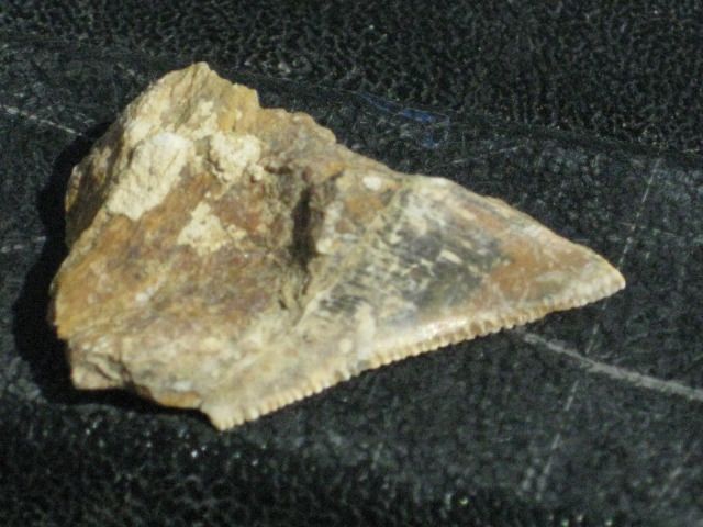 At another location, under a shrub, I found this.  Elizabeth a far better hunter than I. She tells me, not so fast look slowly.  Sitting right on the ledge in front of her, a beauty.  The third area we moved to, and as Elizabeth opens the truck door, a tooth is right on the ground where she steps out.  Fossil coral are the tube shaped pieces. So, dont be in a hurry when hunting for petrified sharks teeth. We were out in the badlands for about 4-5 hours, having a great time but we only found about 4-5 teeth and a couple of them were not whole, and none were the big megalodon teeth.  What a relaxing place Juan and Shari have here. So many have also discovered Bahia Asuncion thanks to Shari getting onto Baja Nomad and really boosting the entire towns economy in doing so.  In our room were some Baja books, and this one had an interesting cave shown.  It also gave a location and we would be in the area, tomorrow! ============================================================================= Thursday, July 26, 2012 (Day 13-a) Today we awake after another great sleep, and we even asked for a wake up call so we wouldnt sleep in too long. Not long after we are up and dressed did Shari deliver waffles with real Canadian maple syrup and fruit. It was great ! The goal today is to go from the Pacific side of Baja over to the gulf side, and this being the widest part of the peninsula and over half on dirt roads, we had some ground to cover. However, this is a site seeing vacation and we hope to see the 1752 Spanish mission of Santa Gertrudis, the ghost town of Pozo Aleman, the giant cave art site as shown in the book we saw yesterday, and to camp at Punta San Francisquito. Take a look at the route map, and we are going from the far left side, across to the right side of Baja:  For those not familiar with the central part of Baja California, here is the peninsula map I posted earlier with the places we over-nighted shown:  I made a road log, starting at Shari and Juans Bed & Breakfast on the west side of the point at Bahia Asuncion: 00.0 Juan & Sharis 10:36am 00.9 Fork at fisherman monument, in town. 01.1 Miramar Market, Gas Pump 01.2 Police Station, Curvina Street (road to San Roque) 01.4 Divided street, Campo Sirena access. 01.7 End divided street, town entrance. 04.7 (Km.34) Road to Punta Prieta, La Bocana, Punta Abreojos 25.2 (Km.0) Junction with Vizcaino-Bahia Tortugas highway 11:05am. Turn east. 70.0 Vizcaino at Highway #1 12:00pm. Gas station is 0.3 mile to the north. The highway to Vizcaino is 90% good pavement, but the 10% of big pot holes can really ruin the whole road, if you let it. There is also some drift sand that covers one lane in a few places. Just lower your speed, and all will be fine. 00.0 Vizcaino at Bahia Tortugas Junction. Turn north. 06.5 Turn onto dirt road, signed to Guillermo Prieto 23 km., but I measured it at 20 km. 12:22pm. We stop for a break a ways ahead and make sandwiches (PB&J). 18.4 Mision Santa Gertrudis sign, pointing a left turn. 19.0 Center of Guillermo Prieto (Dark William), seems to be abandoned. Continue straight north. 30.1 The state border between Baja California and Baja California Sur. Also a change from Mountain Time to Pacific Time. A fence is parallel to the border, about 80 feet north, per my GPS. 32.6 Intersection: Left to El Arco; Ahead to Punta San Francisquito; Right (signed) to Santa Gertrudis. 12:50pm/ Pacific Time. Reset odometer. 00.0 Intersection 00.6 Rancho Miraflores (made famous in Graham Mackintoshs second book, Journey with a Baja Burro, thanks to Grahams burro, Mision) 11.0 Mision Santa Gertrudis (1752), on a level bench above a palm filled oasis. 1:14pm. The mission church was locked and there seemed to be nobody in the village. A Mexican family with their SUV was parked at the oasis having lunch as we drove by. I guessed them to be visitors, as well. I took lots of photos of the stone church, and its unique separate bell tower. The present church was completed by the Dominicans in 1796. The Franciscans were here 5 years, before moving on to Alta California in 1773. The mission founding Jesuits were here until 1768, when the king of Spain ordered them all removed from New Spain. This mission was planned as far back as 1745 to be called Dolores del Norte, but when funds were available in 1748 with the closing of Mision San Jose del Cabo, the name was changed to honor the benefactors wife. Construction of the first adobe buildings started in 1751, a year before a priest was available to man the new mission. The mission was abandoned in 1822, but some families continued to live here. In 1997, the mission was greatly renovated, and some of its historic charm was lost, on the interior changes. Today there are displays and exhibits on the area history, including a mine cart, perhaps from Pozo Aleman, where we go to next! Here is a close up, detailed map of the route from Highway #1, just north of Vizcaino to Guillermo Prieto, the state border, then east 11 miles to Santa Gertudis:  The photos for Day 13-a:       Is this the Vizcaino Desert American Consulate?    Baja tailgate party! PB&Js with ice cold Tecates. 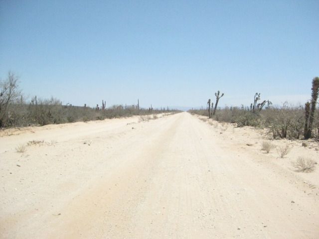 It is a great, fast dirt road to Guillermo Prieto, and on to the border, too.   Guillermo Prieto, 11 years ago it was full of people and kids were playing.  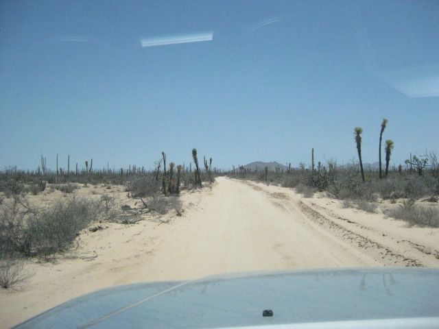  Ball-Moss (Gallito) attaches to many shrubs and cactus in central Baja.   On the 28º parallel of latitude, the state border between Baja California and Baja California Sur, also a time zone change.  My truck at the fence line, just 80 feet inside Baja Norte.  Looking south into Baja Sur.  2.5 miles north of the border is the intersection with signs pointing to the mission.   All the roads I am on today are good and only 2WD is used.    The information is very incorrect another sign, much faded is closer with a founding date given of 1751. It was 1752, per direct mission texts and letters.        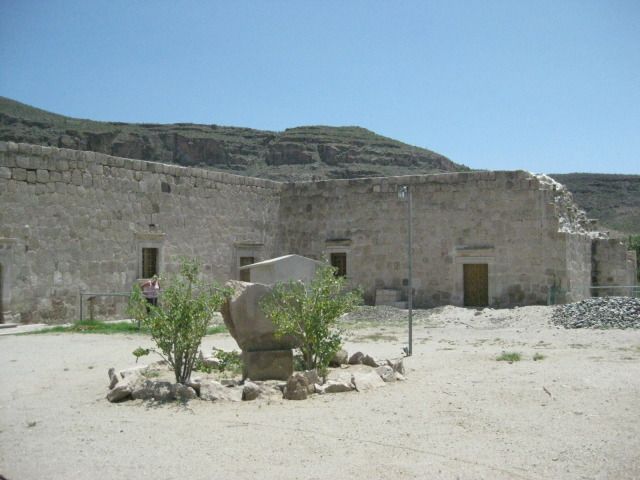  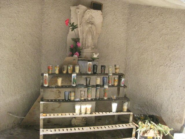      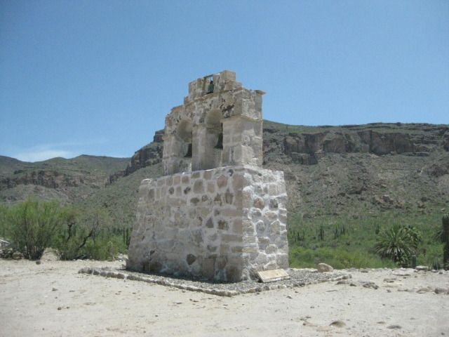   In the next part, we go to the old gold mine ghost town of Pozo Aleman, where some people lived in man made caves. =============================================================== Day 13-b: To Pozo Aleman (German Well) We left Mision Santa Gertrudis and came back out the 11 miles to the 4 way intersection. The left road goes back to Highway #1 (26 miles), and was the way we came in. The right hand road continues northward for 12.3 miles to the Punta San Francisquito and Bahia de los Angeles road. We go straight across on the road west to El Arco. In 5.5 miles, the graded El Arco road bends to the left slightly where the older, Pozo Aleman road continues straight. It is 2:04pm, so we have plenty of summer daylight still ahead. In a few miles we come to some interesting geology and several other roads going to mine claims, perhaps. I expect this road to go right to Pozo Aleman, as the map shows, but instead it meets the El Arco-San Francisquito road just to the east of Pozo Aleman. It has been 4.4 miles from the El Arco/Santa Gertrudis road. In just 0.4 mile going west, we are at the driveway into Pozo Aleman that passes the cemetery. It is 0.7 mile to Pozo Aleman from the graded road. There are several abandoned ruins of adobe and wood homes, as well as the underground homes seen in a 1910 photograph here. There is one rather large home across the gully from the others, and it looks to be occupied, but we see nobody. There is plenty to look at here and then at the cemetery before we continue our drive east. We leave Pozo Aleman at 3:05pm and are hopeful we can find the big painted cave we saw in the book at Sharis (I also have seen photos of it on Baja Nomad from at least two other people). To not cause any grief, I will not publish the mileages or GPS of the road to the painted cave. See it in the next part of the trip report. Map of the area, and mileages on the roads we used, between stars. The 4.4 mile road actually ended 0.4 mile east of Pozo Aleman (not shown on map).   Fork, 16.5 miles from Santa Gertrudis: El Arco left/ Pozo Aleman right. 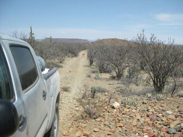 This is the kind of road I like to drive in Baja!   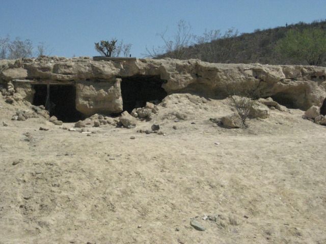    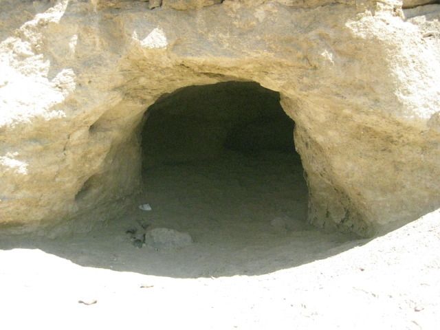               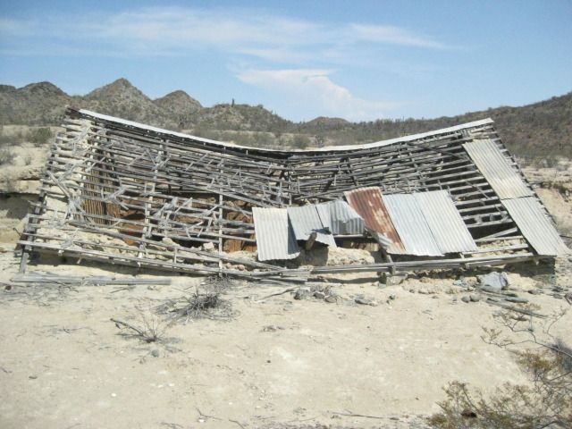 This building is half in the hillside, I walk over to the roof to look down inside. 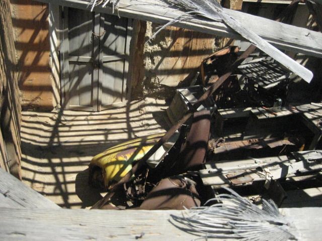 Looks like parts of an old truck in there.   1910 photo.       Next we try and find the Cave of El Arco ================================================================= Day 13-c We leave Pozo Aleman at 3:05pm and take the graded road for some miles until I spot a side road with lots of travel. It ends in just ¾ of a mile at a turn around, next to the side of a big hill. A close look up the hill and I see a cave. From the turn around, a well worn foot trail heads up the hillside. Obviously many folks have been here, perhaps tours. Along the trail, near the cave is a carved Elephant tree with the name Arce and the year 1990, perhaps when it was discovered? The site is a major painted cave, yet Harry Crosby did not include it in his books cataloging the hundreds of central Baja California painted caves. Crosby researched his cave paintings book in the 1970s, so perhaps this one (near El Arco) had indeed not yet been discovered? We take many photos at the cave and we note that it contains paintings of 4 men, 4 women, 4 deer, 4 fish and 2 dark figures with one wearing a hat. So, we call it the cave of fours, plus 2! Some of the images are faint and painted over others so take your time and study the art here or in my photos A most exciting site on our great 15 Day Baja vacation. On our way back down the trail we photograph some boojum trees, some pitahaya dulce, and more ball moss. We are back to the Tacoma and driving again at 5:00pm. It is summer, and the sun is still well up in the sky. Our goal is Punta San Francisquito where a beautiful beach is located I camped at back in 1983... Photos: 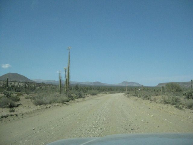 The El Arco/ Punta San Francisquito road is fast and easy to drive.   Ball moss.  The painted cave is up there.  The trail is easy to follow, and only gets steep near the cave.  The Pitahaya Dulce or Organ Pipe Cactus was the source of much joy to the Cochimi Indians when its fruit ripened in the fall.  The cave getting closer!  Looking back down the trail.  We can see the giant paintings.            The only sign at the site        I spot a boojum tree (cirio) about my height They can grow to 60 feet or more.    The base of the tall boojums.  Here are some young pitahaya fruit. In a couple more months they will be ripe for eating.  We return to the road to Punta San Francisquito and continue east as the sun slowly drops in the west. ======================================================================= Day 13-d The painted cave was just plain awesome, and another of the Wonders of Baja that keep us going back, no matter how much the American media attempts to scare us away from Mexico! I did some more research into this cave site, as it is one of the grand ones. It would surprise me if a rancher named Arce was the first to find it, in 1990. I have both versions of Harry Crosbys The Cave Paintings of Baja California (1975 & 1997). In the newer Sunbelt edition, I found it mentioned on pages 236 and 237. This cave was seen by Leon Diguet in 1895, who called it The Cave of el Carmen, but the location was not exact (Diguet said it was between Calmallí and Santa Gertrudis) and Crosby never found it during his travels to the painted caves. We left the parking area for the cave hike at 5:00pm and we still had 2-3 hours of light to get there and set up our camp, we didnt know it yet, but Punta San Francisquito would not turn out to be the ideal camp spot as I had envisioned. Here is a road log and comments from Pozo Aleman to Punta San Francisquito: 00.0 Pozo Aleman entrance at graded road between El Arco and San Francisquito (approx. 2.5 miles from El Arco). 00.4 Road right to/from Mision Santa Gertrudis (20.9 miles). 07.0 Road left to La Unión ranch. 09.5 Cross El Camino Real, the mission road built in the 1700s here between Mision Santa Gertrudis and Mision San Borja. To the left, it has been turned into an auto road to La Unión. To the right, just a straight trail to the southeast. See map. 13.2 Road south to Guillermo Prieto and Highway #1 (near Vizcaino) in 38 miles. It crosses the Mision Santa Gertrudis road in 12.3 miles (12.8 per the Baja Almanac). 14.9 Piedra Blanca, a ranch and guest resort offering accommodations, meals, guided tours, and more. In just about 10 miles the peninsular divide is reached with a view of the Sea of Cortez and the many islands offshore. This was once the top of a very steep grade called La Cuesta de la Ley (The Grade that Rules). However, it was totally re-graded in the early 1980s so 4WD is no longer needed. 26.0 Bottom of Cuesta de la Ley. 33.0 El Progreso, ranch. Road east curves to the left, road to El Barril forks to the right. 33.6 T Junction: Left (west) is road to Bahia de los Angeles, access in 1.5 miles. Right is main road east. 33.8 Rancho Escondido road right, tourist services offered. 44.7 Gated entrance to Cala or Puerto San Francisquito ahead, turn right for Punta San Francisquito Resort. Soon drive along airport runway on dry lake bed. 46.7 Punta San Francisquito Resort. Damaged by recent earthquake, but open for business (meals, rooms). It is 6:20pm and the sun is still up, but not for a whole lot longer. We have a look around and chat with the lady in charge, who was watching TV. It is windy, waves are crashing on the beach and setting up camp here would be a chore. We also didnt get a very receptive greeting even though there were no other guests there. When I asked the lady about that, she just said it was too hot for tourists, and returned to watching TV. We decide to push north for Bahia San Rafael, 35 miles away We get to San Rafael at 7:30, and the man who runs the camp there, Pancho, is gone and his house is locked up. There are fishermen shacks and one man is there. We drive down onto the beach to have a look at the one palapa on the sand for camping. It doesnt look real inviting. We see a few coyotes nearby, and I capture one with my camera who is brave enough not to run away. There is another access road onto the beach a bit north, so we turn around and drive back out on Panchos driveway to drive 2.1 more miles north to the other beach. That works out perfect for us. We set up camp with ease (love that easy-up tent), make dinner, and enjoy campfire time before turning in for a great nights sleep! Maps & Photos:    Guest rooms at Piedra Blanca.  Ball moss on a boojum (cirio) tree. 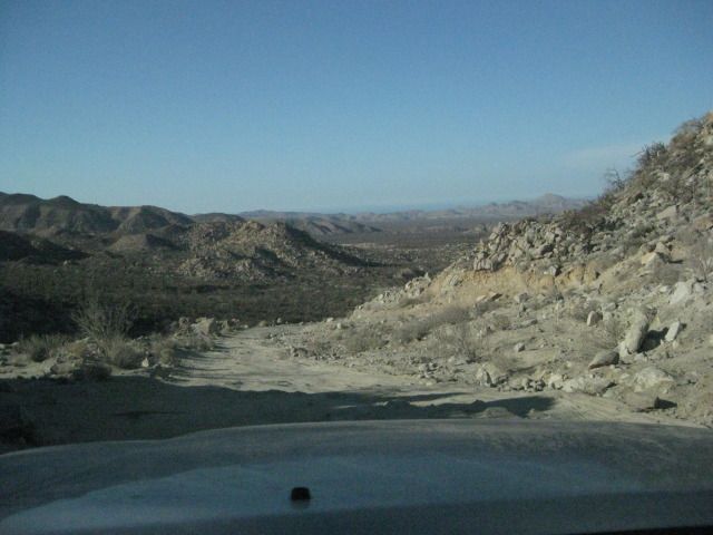 La Cuesta de la Ley. 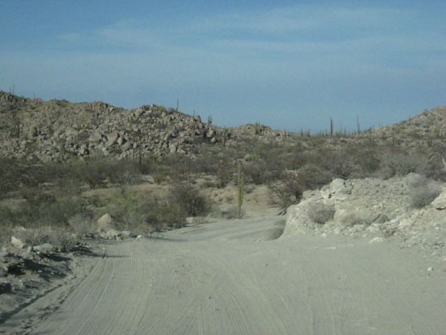         Gate and signs make it not very inviting to go to the cove on the sheltered bay.  This way is open and inviting. Unlike the way it is shown on the map, the graded road goes directly to the cove (Cala San Francisquito) entrance gate, 2.0 miles past the resort.  Along the airstrip.  Punta San Francisquito Resort.       Leaving, we take one more look at the runways.      This is the grade shown on the map as Puerto el Portezuelo.  Sunset, just a few miles from San Rafael.   On the beach, just beyond Panchos and the fishermen shacks.  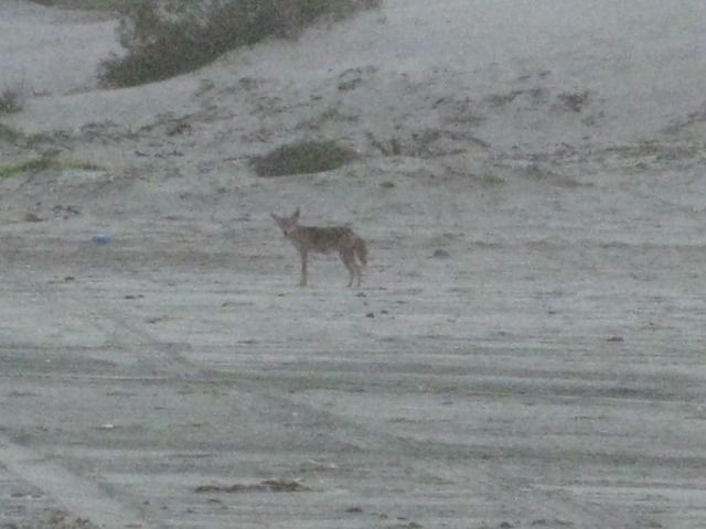 Tomorrow (Day 14) we head for Bahia de los Angeles and meet up with old friends ============================================================== Friday, July 27, 2012 (Day 14) We awake to a beautiful morning on the beach at Bahia San Rafael. After some photos of the beach, we pack up and are on the road at 8:52am. Once again we are on the graded road, 2.1 miles north of the driveway to Panchos San Rafael beach camp and tire repair shop. I reset the odometer to 0. We stop for photos in a couple places as we cruise north on the typical Baja graded road. To help with tire life and smoother ride off pavement, I have been lowering the pressure from the normal 38 psi I run with a heavy load to 28 psi. Mile 16.8: We come to the road for Bahia las Animas at 9:35am. This side road goes north to a fishing camp on a beautiful bay that was perhaps the possible location for a mission that was abandoned before it was completed. Two miles from the end of the road at the camp, a large hill is passed. On this hill are rock walls, at the base of the hill was an earth dam and reservoir behind it, and nearby is the trunk of a date palm. Other walls go across the desert. It is quite a mystery and first photographed and documented by Desert Magazine editor Choral Pepper back in 1966. Choral later would conclude that this site fits as the location of a started mission called Santa Maria Magdalena on the 1757 Jesuit map, shown south of Bahia de los Angeles. Las Animas Bay was first explored by the Jesuit Fernando Consag in 1746, who arrived by sea seeking new mission locations to the north of San Ignacio. It is all a great mystery and the purpose of all the work down here is otherwise unknown. See our 2009 examination of Choral Peppers lost mission found: http://vivabaja.com/109 Mile 20.6 (9:49am): The old road going south from L.A. Bay leaves the graded road here. It was opened up by the Erle Stanley Gardner party in 1966 using dune buggies and 4WDs to find the ancient trail they were told about by Dick Daggett in Bahia de los Angeles. See the effort in Gardners 1967 adventure book, Off the Beaten Track in Baja. Mile 30.6 (10:13am): As the graded road curves to the right, an old road comes in from the left. This goes 3 miles south to the railroad terminal area where the gold and silver ore was loaded onto the small railroad cars bound for the mill at Las Flores. The ore came thousands of feet down from the San Juan mine on top of the mountain using a cable tramway. All this activity pretty much ended in 1911 because of the revolution in Mexico. Just past this junction on the graded road, look over to your right and see the railroad bed. The train engine from this railroad is now on display in the Bahia de los Angeles town plaza. Mile 33.0 (10:21am): Over to the left is a small building. This is the Las Flores jail and vault that was once in a large town at the north end of the railroad line. Las Flores is where the ore was processed into ingots and then they were carted to the bay where boats would pick them up. Mile 38.6 (10:33am): Camp Gecko, a private residence area now, at one time a fun place to camp with friends. Bahia de los Angeles town is 4 miles north of the Camp Gecko entrance. We have some friends who have homes just north of Gecko, and we want to visit with them. First we find Mary Ann Humfreville, and she suggests we go have lunch in town and see if Paulina and Dern can join us. Mary Ann and her late husband Mike have been coming to Bahia de los Angeles since the 1970s. Mike wrote a book about their summers on the bay, both before and after they had children. The book is called In the Shadow of the Volcano and can be purchased at the museum in Bahia de los Angeles. In the United States or Canada, contact me as I have the remaining copies that were published. We all go into town and after filling our gasoline tanks, we go to fill our stomachs at Alejandrinas Restaurant, a place that has been getting great reviews on Baja Nomad forums. The reunion was great, and good to hears everyone is doing well. The town is quiet, as the summer heat is not enjoyed by many travelers, we love it nice and warm. Heres our trip route map, this covers the area from Bahia de los Angeles to Puertecitos:  The highway into/out-of Bahia de los Angeles is in great condition and it is about 40 miles back to Highway #1 (65 kilometers). We get on the road at 2:20pm and reach Highway #1 at 3:02pm. Along the way, 12.6 miles from Bahia de los Angeles or 27 miles from Highway #1, is the signed road south to Mision San Borja. The junction is at the Km. 45 marker and if you have any time for the 22 mile dirt road drive, visiting this mission founded in 1762 is very much worth the drive and time. San Borja is the furthest north of the cut stone built missions in all of California. Remember, the Baja peninsula was California first, and once the padres came north of the peninsula they simply referred to the new land as Alta (Upper) California. Once you have an upper California, to clarify discussion, the peninsula then was called Baja California. Read more on San Borja in my article published last month, here: Mission San Borja Northbound on Highway #1: At 3:15pm we pass El Crucero in 12.9 miles, at Km. 261. This is where we joined Highway #1 two weeks earlier, southbound after visiting the Calamajue mission site. At Km. 251, 6.3 miles from El Crucero, is the water road to Calamajue Canyon. It was built in 1973 during the construction of the Baja Highway to bring in water. It meets the road to El Crucero from Calamajue, just above the canyon entrance. At 3:40pm we come to the Highway #5 junction with Highway #1, in the Laguna Chapala Valley. It is 30 miles from the Bahia de los Angeles Junction. We take photos of the many signs including the battered up information one. Now, Highway 5 is still a dirt road for the final 45 miles of it. So, I deflate my tires to help prevent rock punctures and to improve the ride. However, in just a few miles my low air pressure warning light comes on, and my front right tire has a hole in the center. It takes 3 plugs to stop the leak, and it usually isnt this hard to do it. In a couple miles the plugs fail, so I repeat the steps to avoid changing the tire, not that that is any big deal. I know they can patch the tire at Gonzaga Bay (Rancho Grande) and prefer to keep the new spare new, as long as possible. 9 years ago, I even purchased a used tire at Rancho Grande when I had a rock hole too big to patch. They actually had the correct size for my 2001 Tacoma. Since then, I lower the air to about 25 psi and avoid big rock damage. We pass Cocos Corner at Mile 12.7 from Laguna Chapala, and it is 4:52pm. With the tire issue and sun getting low, we did not stop to visit with Coco. We usually always like to make a visit there and buy a cold Pacifico from him. I wanted to let him know that Calamajue Canyon was no problem two weeks earlier from the little water we found there, compared to past years. At Mile 25.3 we pass the south access road for Punta Final (part of it is the older road south, before the graded one we are on was made about 1987). At Mile 33.7 (from Highway #1/ Laguna Chapala) is the road to Campo Beluga, on the bay. We stayed there in 2007: http://vivabaja.com/207/page3.html Rancho Grande, Gonzaga Bay is 35.0 miles from Highway #1. There one can eat at the new restaurant, shop for many items including booze in their market, and in back is the tire shop. The tire gets fixed, and we are okay on gasoline, so no need to top off at the Pemex station, across the road from Rancho Grande. The Pemex is also next to the road to the bay at Alfonsinas Resort (Restaurant, Bar, Motel): http://vivabaja.com/908/page9.html and http://vivabaja.com/1106/page10.html for pictures at Alfonsinas. The sun is headed behind the mountains, but with so much of the road to the north paved, we are still comfortable about getting to Shell Island. Specially with the tire repaired. As it turned out, the hole was in the same spot as a previous patch made last January when I got the first flat, on this same tire (on a rocky road but didnt deflate). Perhaps that is why it was more difficult to plug? The older patch failed more than the tire failed, a second time. That road between Chapala and Cocos Corner is very rocky, so go slow and save your tires. I have had no other failures during the 24,000 miles I have had on these Hankook Dynapro ATM tires. I reset my trip odometer at Rancho Grande/ Gonzaga Pemex just ahead is the military checkpoint, and they do their full inspection. It is all very professional and we are soon on our way. We pass the road to Papa Fernandez Resort at Mile 2.5, then come to new highway construction at Mile 2.7. From here to the pavement we are sometimes on detours, sometimes on the new roadbed. Punta Bufeo Resort road is at Mile 7.5 and we are on new pavement at Mile 12.8. We come to the detour sign at Mile 13.0 and it is all pavement from here north. So, 13 miles from Rancho Grande & the Pemex or 10.5 miles from Papa Fernadez road right about at the turnoff to Campo Delfines, is where the pavement begins going north, on July 27, 2012. We come to the paved Puertecitos entrance road at 8:07pm and Mile 44.4 from the Gonzaga Bay Pemex. The new paved Highway #5 south from Puertecitos began being built about 5 years ago. In September of 2008, only 2 miles were paved. In July, 2010, 18 miles were paved. In July, 2011, 24 miles were paved. Now, in July/August 2012, 31 miles are paved. The land here is very rugged and the volcanic rock must be a tough thing to cut through! We arrive at our beach camp on Shell Island tired, but happy. This is our favorite place to camp in all of Baja. Perhaps because it is an easy days drive from home (about 6 hours), but mostly because it is all sand and usually no other people. We enjoy the quiet times, but we also had great times with others on this trip! I will wrap-up this trip with tomorrows (DAY 15) details for the drive home and crossing the border Hasta Pronto (See you soon)! DAY 14 photos:  Good Morning Bahia San Rafael!  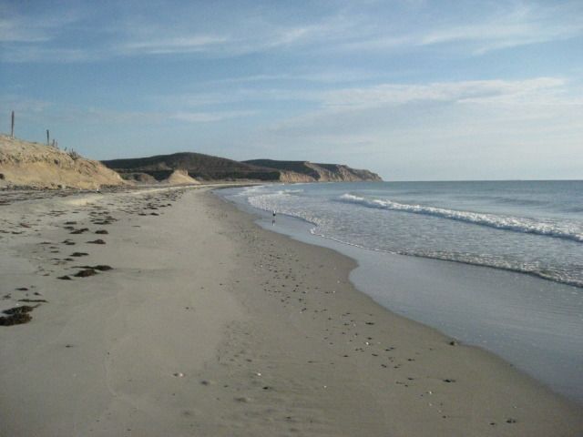  Our camp from the waters edge.  On the road, looking back to the beach where we camped.  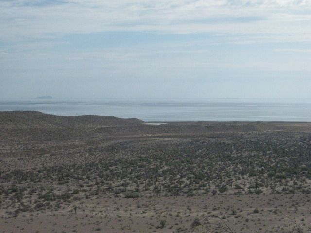 Thats Boca Grande, just north of San Rafael. Baja Nomads have reported very bad mud out there. The best story comes from Barry A about his experience at Boca Grande.   This is the road to Bahia las Animas.     Mikes Mountain comes into view. This is a peak above Bahia de los Angeles were an American (Mike) would climb to regularly and he made a rock house on top. See photos and discussion about it here: BajaNomad Forums - "Peace, Love & Fish Tacos" 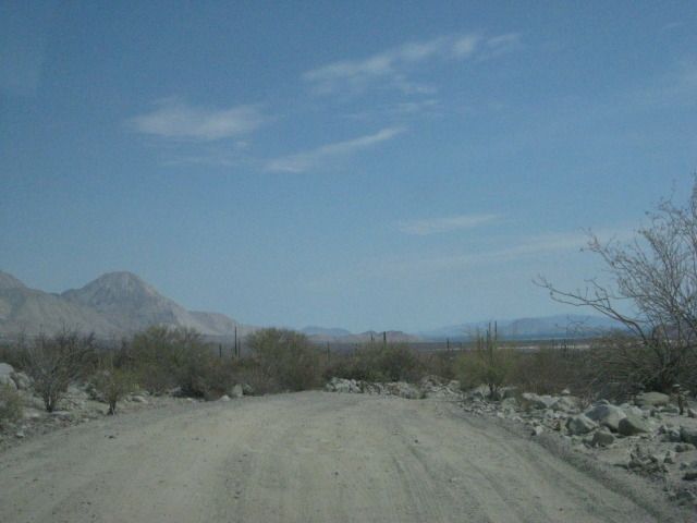 The road reaches the highpoint in the valley and bends towards the bay. The road to the terminal area for the railroad comes in here. Just ahead, on your right is  the railroad bed. See photos at the terminal: http://www.vivabaja.com/402/page4.html and http://www.vivabaja.com/403/page11.html   The view from Mary Anns porch.   Paulina and Dern found a highway sign that even points the right way, plus my two stickers from years past. The Viva Baja one held up to conditions better than the newer got baja? one did! 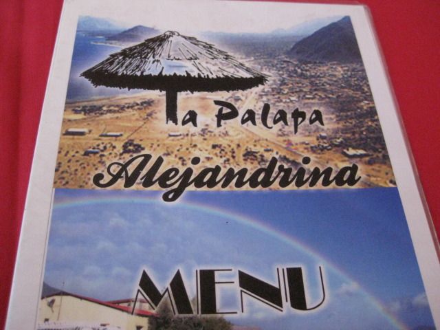 There have been good reviews on Baja Nomad about the new restaurant in Bahia de los Angeles, Alejandrinas. We agree, it was excellent. Heres the menu:   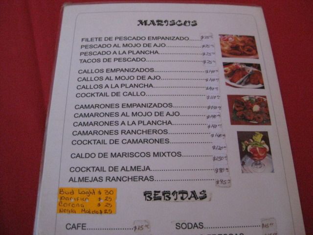  Mary Ann, Dern and Paulina listen to Baja Angel (Elizabeths) story of our adventures the past two weeks.   Just out of town is a viewpoint where you can get this great panorama of Bahia de los Angeles (Bay of the Angels). The many islands are the angels, and when conditions are right, you can watch them rise above the water. An effect like a mirage causes this and it is quite a thrill to witness!    With a little zoom.  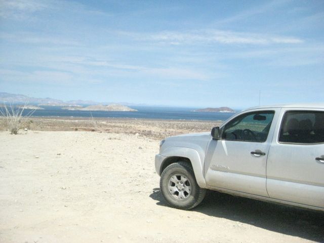 The 2010 Toyota Tacoma, 4WD, Off Road TRD, double cab, has been a awesome vehicle and seems to beg for bad roads, never a mechanical issue.    At Laguna Chapala, approaching the Highway #5 junction.    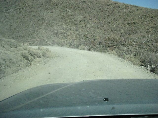  Hole plugged in the middle of the tread, turned out to be where a patch was placed 7 months earlier.  Once past Cocos Corner, the road is more sand and gravel, than big rocks.  Getting close to Gonzaga Bay (Bahia San Luis Gonzaga and the bigger bay Ensenada de San Francisquito are together usually called Gonzaga. Some books and maps mistakenly call Gonzaga Bay, Willard Bay, after the point named Willard on the north end).  Tire repaired properly at the Rancho Grande tire shop, behind the store.  At the military checkpoint, sea shells were used to make a sign for their troop name.  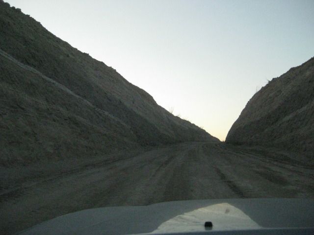 New highway construction begins less than 3 miles from Rancho Grande.          On pavement before nightfall! Stay Tuned for the final days report and photos ======================================================================= Saturday, July 28, 2012 (Day 15 of 15 days in Baja) The night was perfect, we had our last campfire and slept like babies. The next morning we had a high cloud cover which made it ideal for packing up, out of direct sunlight. Packing up the final time was a breeze and I cannot say enough good things about our new Coleman Easy-Up Tent It is now Baja Proven! Once the truck was loaded, I drove down close to the water so we could take one last swim in the Sea of Cortez. We were on the move at 8:47am. Once off of Shell Island, I re-inflated the tires using the Tsunami fast pump and we were back to Highway #5 at 9:18am. Arrived at the San Felipe South Pemex, 208 miles since filling up at Bahia de los Angeles. The price was 10.05 pesos/liter and the exchange rate offered at that Pemex was 13 pesos per dollar, so the price per gallon in dollars was $2.93. The next order of business was getting the truck washed. U.S. customs can turn you back if you arrive at the border with obvious mud and dirt on or under your vehicle. The car wash place is the same we have used before, along the street we come into San Felipe on, on the right. The whole process takes about an hour, so we have some carnitas tacos at the restaurant next door and sodas while we wait. The car wash was $13 dollars, including tip, and we were northbound at 11:15am. There is a major military inspection checkpoint, 30 miles north of town, but there is very little wait and hardly any time for the boys to look around before we are going again. Soon we are at the detour as they are widening Highway #5 for the next 21 miles but it is fast and easy. Remember, I am in a Tacoma, made for Baja (and made in Baja, too), so bigger rigs, motor homes or lesser vehicles will find the detours less fun than did I! We took the Highway #2-D toll road from south of Mexicali to Tecate and avoided all city traffic going to the border at Tecate (192 miles from San Felipe). We got to the end of the line at 3:39pm Saturday afternoon. We were cleared into the U.S. at 4:26pm (47 min.) after just a couple of questions and no search. When we got back to our home town, I topped the gas tank. We had traveled 312 miles today from Shell Island, 287 from the gas station in San Felipe. My gas mileage on this tank was 18.42 mpg (including the 47 minutes idling in line at the border). However, with gasoline at $3.69/ gallon I think I like being in Baja more! This was a most fantastic trip we wish give big thanks to our hosts in La Paz (The Bajatripper family) and our hosts in Bahia Asuncion (Shari and Juan) their hospitality and the friendliness of Mexican people all over the Baja California peninsula really make the vacation in Mexico a fun time. Our nights camping at Shell Island, Playa La Perla, and Bahia San Rafael were perfect sure we had to deal with mosquitos at sundown at La Perla, but the weather was ideal at 95º and perfect warm sea water day or night. The sea temperature of near 85º is why we prefer going to Baja in the summer. Day 15 Photos:  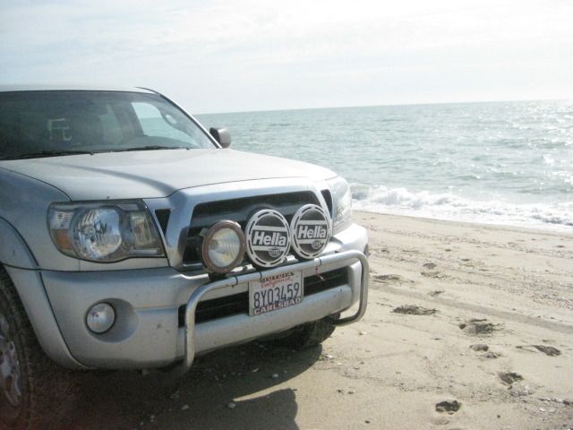    This little blow sand at the edge of the tidal mud flats, made a great/ clean place to air up the tires for the trip home.  Looking towards the island/ beach.  Looking inland towards Highway #5 (2 miles), at Km. 26.  Detour along Highway #5, 45 miles north of San Felipe.  Man in the mountain the volcanic hills take on many shapes, just let your imagination run wild! I posted something last night on forums where I have been sharing this trip report, and I think I will place it here, at the end of this 15 Days in Baja 2012 Photo Report: This has been fun for me to relive the trip, and through this report it 'cements' the details better than (my) memory! I am glad some of you are enjoying it and if it sparks the desire to see these places (again, or the first time) then that is fantastic. Baja California (Old California) is truly a land of wonder and adventure. On the 14th day, we passed places I have been to one or more times in the past, thus the links to those older photos were added should you wish to 'see' what I saw there. When or if you go in person, you WILL see more! These photos are just a sample, a tiny sample of what is down there. The ocean, the beaches, plants, animals, mines, missions, painted caves... all in one skinny, long peninsula. Baja has been attracting man to go there for centuries! It must be magic... The magic of Baja...* ------------------------------------------------------------------------------------------------------------ Thank you and Happy Trails! David K
__________________
Visit my web site: David K's BAJA Adventures Order a copy of our NEW BOOK 'The Old Missions of Baja & Alta California' http://oldmissions.com |
|
09-08-12, 12:16 PM
| #2 |
 
Status: `
Join Date: 05-08-09
Posts: 3,676
|
What a fabulous report/pictures; felt like I was there!
Thanks very much for that, David. |
|
09-08-12, 05:39 PM
| #3 |

Join Date: 04-08-09
Location: Southern Baja
Posts: 726
|
WoW! I'm spent.
Feels like I just drove a couple thousand miles. What a trip! You got to see A LOT of Baja. I can't imagine driving that much, I like to go somewhere and spend a week or two..but there is a reward to your whirlwind tour, you were able to see much more. Thanks. |
|
09-09-12, 10:49 AM
| #4 | |
|
Join Date: 04-02-09
Location: San Diego County
Posts: 856
|
Quote:
We do enjoy relaxing and we have gone to Shell Island just to do 'nothing'... and that is fine. However, Elizabeth hasn't been south of Loreto before, and this was our first time having two weeks off to be able to get to the tip without rushing. This trip did not seem like a rushed one at all, and that was because we spent several days at Concepcion and La Paz. I am happy you enjoyed a look at some of what we saw!
__________________
Visit my web site: David K's BAJA Adventures Order a copy of our NEW BOOK 'The Old Missions of Baja & Alta California' http://oldmissions.com |
|
|
09-13-12, 06:59 PM
| #5 |
Join Date: 12-30-10
Location: San Juan Island, WA
Posts: 226
|
Wow, that was an hour well spent! Thank you David!!
I'm really glad you guys got to take the trip, seemed like it might not happen for a while there. |
|
09-14-12, 11:58 AM
| #6 |
 
Status: Queso Grande
Join Date: 02-09-09
Location: San Quintin
Posts: 7,148
|
I first opened this thread last night and just got through it this morning. What an epic trip - felicidades amigo!
__________________
TalkBaja.com - Where everybody knows your name and nobody stays on topic... |
|
09-15-12, 07:44 PM
| #7 | |
|
Join Date: 04-02-09
Location: San Diego County
Posts: 856
|
Quote:
I am so happy to finally have gotten Baja Angel down to La Paz and the tip... and to have such great hosts as BajaTripper and Zully in La Paz made it an epic and amazing trip. I am so happy to be able to share it on the Internet and in magazine articles I am writing (see BajaBound.com Baja Travel Adventures). Now, I just need to find lots of folks who would like a copy of our new California Missions (Baja & Alta) book... maybe help pay for a future trip south. But, if it ends up being a while, this trip was enough to satisfy my Baja needs for a little while!
__________________
Visit my web site: David K's BAJA Adventures Order a copy of our NEW BOOK 'The Old Missions of Baja & Alta California' http://oldmissions.com |
|
|
01-18-13, 10:27 AM
| #8 |
|
Join Date: 04-02-09
Location: San Diego County
Posts: 856
|
Update... since this trip last July, the book 'The Old Missions of Baja & Alta California, 1697-1834' was published and now is in its Second Edition. http://oldmissions.com
I have also been writing short travel articles for Baja Bound, that now include places we visited on the July trip: http://www.bajabound.com/bajatravel/ and the newest one from this week: A Sandy Beach And The Vanished Mission of LigüÃ* Some of these stories have also appeared on Baja.com and San Diego Red online magazines. I am always happy to help others seeking a Baja adventure, and if you need any input or travel guide service please contact me.
__________________
Visit my web site: David K's BAJA Adventures Order a copy of our NEW BOOK 'The Old Missions of Baja & Alta California' http://oldmissions.com |
|
01-18-13, 11:13 AM
| #9 | |
 Join Date: 05-24-11
Location: Rancho Cucamonga, CA
Posts: 84
|
Quote:
|
|
|
01-19-13, 04:07 PM
| #10 |
|
Join Date: 04-02-09
Location: San Diego County
Posts: 856
|
I wish you all the success in inspiring your spouse to go south! The 2012 summer vacation was just so wonderful, and I have been going to Baja for almost 50 years! That just shows you how much Baja has to give and keeps on giving... a truly magic peninsula!
__________________
Visit my web site: David K's BAJA Adventures Order a copy of our NEW BOOK 'The Old Missions of Baja & Alta California' http://oldmissions.com |
|
 Similar Threads
|
||||
| Thread | Thread Starter | Forum | Replies | Last Post |
| Baja 709 was so fine! July, 2009 to Loreto and more... | David K | Baja Photo Uploads / Trip Reports | 23 | 03-26-14 10:00 AM |
| 'Baja California, July 1949' A Photo Story with Words By Penny Pickett | David K | Baja Stories - Writers Corner | 3 | 12-11-11 04:19 PM |
| Baja Aerospace Forum - July 21st | Noticias | Baja News Wire | 0 | 06-27-11 08:13 AM |
| Viva Baja California | fdt | General Discussion | 6 | 10-10-09 09:32 AM |
| Baja Open Beach Volleyball Fiesta - July 10-12, 2009 | BajaGringo | Calendar of Events | 0 | 07-05-09 09:48 PM |
All times are GMT -7.
Powered by vBulletin® Version 3.8.3
Copyright ©2000 - 2014, Jelsoft Enterprises Ltd.
Archived 2014
Copyright ©2000 - 2014, Jelsoft Enterprises Ltd.
Archived 2014