| Maps of Missions, Trails & El Camino Real The True History of California Starts Here... |
 05-04-09, 04:28 PM
| #1 |
 
Join Date: 04-02-09
Location: San Diego County
Posts: 856
 |
By request...
Here is the 2003 topo showing Trinidad north to Santa Catarina/ Independencia: 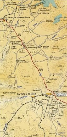 Here is the oldest map that lists Trinidad, 1888: 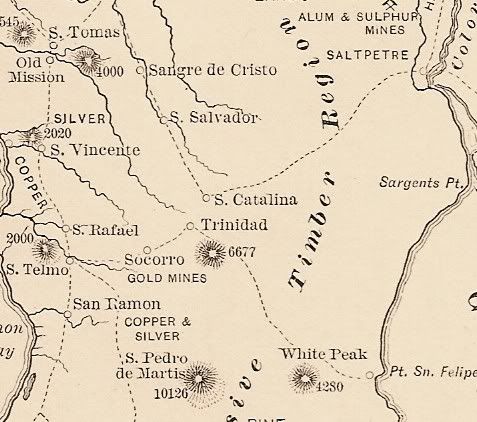 1905 mine map: 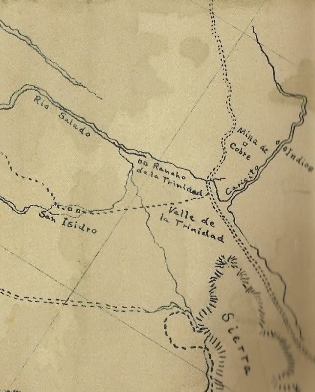 1919 map: 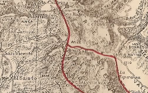 1930 map: 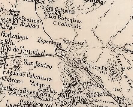 1941 map: 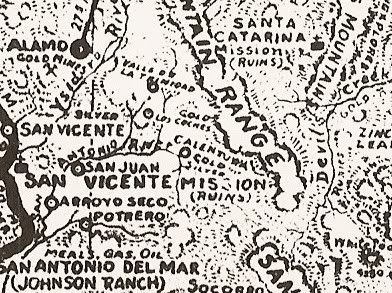 1962 map: 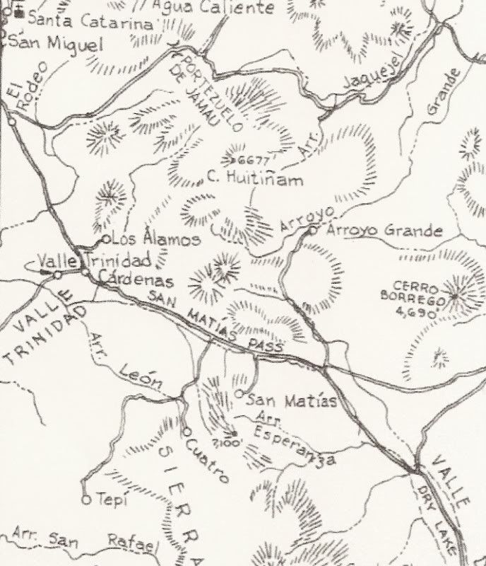 Pavement arrives on 1975 map: 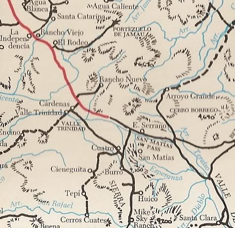 (I drove from Ensenada to San Felipe often in the 70's and the highway wasn't completed until 1977)
__________________
Visit my web site: David K's BAJA Adventures Order a copy of our NEW BOOK 'The Old Missions of Baja & Alta California' http://oldmissions.com |
|
 Similar Threads
|
||||
| Thread | Thread Starter | Forum | Replies | Last Post |
| Baja Maps from the past! | David K | Maps of Missions, Trails & El Camino Real | 56 | 04-15-14 11:32 PM |
| World Class Restaurant in Valle de Guadalupe | BajaGoodLife | Fish Tacos, Lobster & Prime Rib | 5 | 04-18-12 07:36 AM |
| The Lost Valley, Valle Perdido | Jack Swords | Baja Photo Uploads / Trip Reports | 3 | 12-08-11 08:17 PM |
| Hurricane Jimena Relief Effort In Valle de San Quintín | Marty Cortez | Baja News Wire | 0 | 09-24-09 10:50 AM |
| 1888 Baja California | David K | Maps of Missions, Trails & El Camino Real | 0 | 05-04-09 03:25 PM |
All times are GMT -7.
Powered by vBulletin® Version 3.8.3
Copyright ©2000 - 2014, Jelsoft Enterprises Ltd.
Archived 2014
Copyright ©2000 - 2014, Jelsoft Enterprises Ltd.
Archived 2014